 |
 |
   |
|
|
| locality:- |
Drover Hole |
| locality:- |
Yard Loup |
| civil parish:- |
Kaber (formerly Westmorland) |
| county:- |
Cumbria |
| locality type:- |
boundary stone |
| locality type:- |
county boundary mark |
| coordinates:- |
NY89050699 |
| 1Km square:- |
NY8906 |
| 10Km square:- |
NY80 |
| county:- |
Durham |
| county:- |
North Yorkshire |
| old boundary |
| locality:- |
Westmorland boundary |
| current boundary |
| locality:- |
Cumbria boundary |
| SummaryText:- |
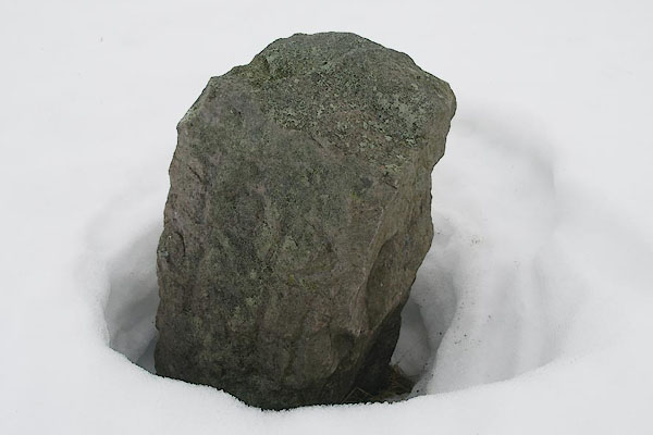
We may have identified this wrongly; it was not weather for careful study. |
|
|
|

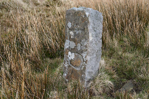
CAI33.jpg "L 0" (taken 11.4.2014)
|
|
|
| evidence:- |
database:- Listed Buildings 2010
|
| source data:- |
courtesy of English Heritage
"BOUNDARY STONE TO CUMBRIA/NORTH YORKS / / / KABER / EDEN / CUMBRIA / II / 73346 /
NY8906506992"
|
| source data:- |
courtesy of English Heritage
"Boundary stone; mid C19. Rough-dressed c2 1/2 ft high, square in plan. LO carved on
north face, 1912 LH carved on west face."
|
|
|
|

BRZ90.jpg Not weather for careful study.
(taken 22.1.2010)
|
|
|


 Lakes Guides menu.