 Old Cumbria Gazetteer
 |
 |
|
| Blind Tarn, Kirkby Ireleth | ||
| Blind Tarn | ||
| civil parish:- | Kirkby Ireleth (formerly Lancashire) | |
| county:- | Cumbria | |
| locality type:- | tarn | |
| coordinates:- | SD25638626 (about) | |
| 1Km square:- | SD2586 | |
| 10Km square:- | SD28 | |
|
|
||
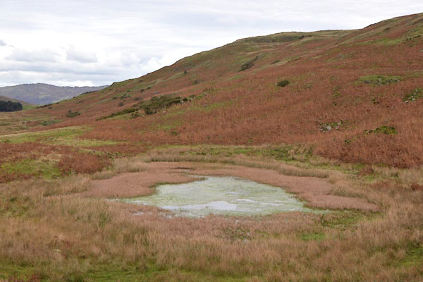 CGT04.jpg (taken 18.10.2017) |
||
|
|
||
| evidence:- | old map:- OS County Series (Lan 7) placename:- Blind Tarn |
|
| source data:- | Maps, County Series maps of Great Britain, scales 6 and 25
inches to 1 mile, published by the Ordnance Survey, Southampton,
Hampshire, from about 1863 to 1948. "Blind Tarn" |
|
|
|
||
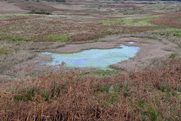 CGT05.jpg (taken 18.10.2017) 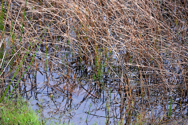 CGT06.jpg (taken 18.10.2017) |
||
|
|
||
| notes:- |
It is suggested that this is called Kittleton Tarn, perhaps a mistake for Knittleton
Tarn. |
|
| Blair 1993 |
||
|
|
||
 Lakes Guides menu.