 Old Cumbria Gazetteer
 |
 |
|
| Bell Beck Bridge, Colton | ||
| Bell Beck Bridge | ||
| site name:- | Bell Beck | |
| civil parish:- | Colton (formerly Lancashire) | |
| county:- | Cumbria | |
| locality type:- | bridge | |
| coordinates:- | SD33138927 | |
| 1Km square:- | SD3389 | |
| 10Km square:- | SD38 | |
|
|
||
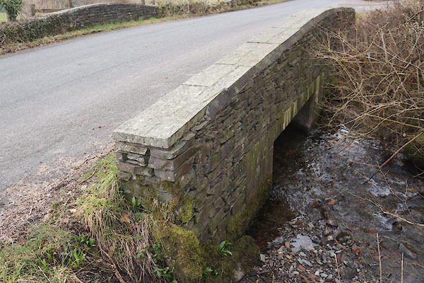 CES26.jpg (taken 11.3.2016) |
||
|
|
||
| evidence:- | old map:- OS County Series (Lan 8 5) placename:- Bell Beck Bridge |
|
| source data:- | Maps, County Series maps of Great Britain, scales 6 and 25
inches to 1 mile, published by the Ordnance Survey, Southampton,
Hampshire, from about 1863 to 1948. |
|
|
|
||
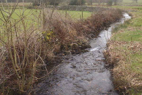 CES27.jpg View of river. (taken 11.3.2016) |
||
|
|
||
 Lakes Guides menu.