 Old Cumbria Gazetteer
 |
 |
|
| included in:- |
 limekilns, Coniston Limestone Series limekilns, Coniston Limestone Series |
|
| limekiln, Skelwith | ||
| not found | ||
| locality:- | Brathay | |
| civil parish:- | Skelwith (formerly Lancashire) | |
| county:- | Cumbria | |
| locality type:- | limekiln | |
| locality type:- | Coniston limestone series | |
| locality type:- | kiln | |
| locality type:- | geological site | |
| coordinates:- | NY35290197 | |
| 1Km square:- | NY3501 | |
| 10Km square:- | NY30 | |
| stratigraphy:- | Coniston Limestone Series | |
| references:- | OS County Series |
|
|
|
||
| MN photo:- |
Having looked hard, no sign of a limekiln was found hereabouts. This is the spot closest
to the position on the map. |
|
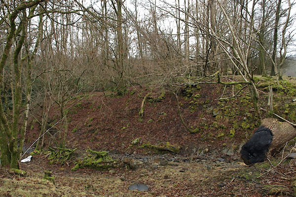 BSD50.jpg (taken 14.2.2010) |
||
|
|
||
| evidence:- | old map:- OS County Series (Lan 2) |
|
| source data:- | Maps, County Series maps of Great Britain, scales 6 and 25
inches to 1 mile, published by the Ordnance Survey, Southampton,
Hampshire, from about 1863 to 1948. "Limekiln" |
|
|
|
||
Lakes Guides menu.