 Old Cumbria Gazetteer
 |
 |
|
| Hawkrigg Farm, Claife | ||
| Hawkrigg Farm | ||
| locality:- | Sawrey | |
| civil parish:- | Claife (formerly Lancashire) | |
| county:- | Cumbria | |
| locality type:- | buildings | |
| coordinates:- | SD38179502 | |
| 1Km square:- | SD3895 | |
| 10Km square:- | SD39 | |
|
|
||
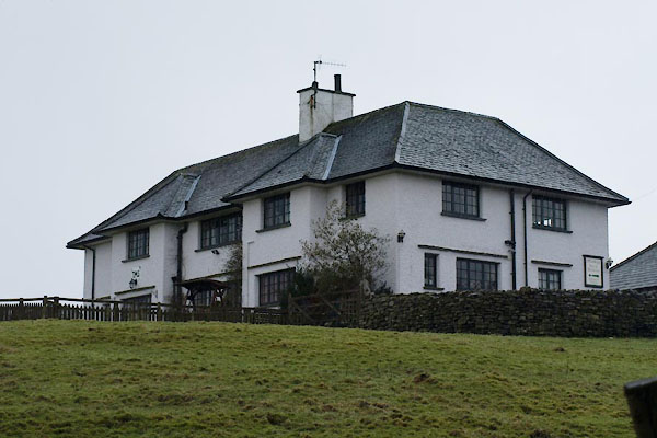 BVV13.jpg (taken 27.1.2012) |
||
| The date stone reads:- |
||
| "1 9 / TMS / 1 1" |
||
|
|
||
| evidence:- | old map:- OS County Series placename:- Satter How |
|
| source data:- | Maps, County Series maps of Great Britain, scales 6 and 25
inches to 1 mile, published by the Ordnance Survey, Southampton,
Hampshire, from about 1863 to 1948. "Satter How" |
|
|
|
||
| evidence:- | old map:- OS County Series (Lan 5 11) placename:- High Satterhow placename:- Satterhow, High |
|
| source data:- | Maps, County Series maps of Great Britain, scales 6 and 25
inches to 1 mile, published by the Ordnance Survey, Southampton,
Hampshire, from about 1863 to 1948. |
|
|
|
||
| hearsay:- |
Where the Yew Tree Seat recluse (Wordsworth) lived. |
|
|
|
||
 Lakes Guides menu.