 Old Cumbria Gazetteer
 |
 |
|
| bridge, Kentmere | ||
| site name:- | Bryant's Gill | |
| locality:- | Kentmere | |
| civil parish:- | Kentmere (formerly Westmorland) | |
| county:- | Cumbria | |
| locality type:- | bridge | |
| locality type:- | clapper bridge | |
| coordinates:- | NY44900663 | |
| 1Km square:- | NY4406 | |
| 10Km square:- | NY40 | |
| SummaryText:- | A bridge and stone wall cross the stream and each other. | |
|
|
||
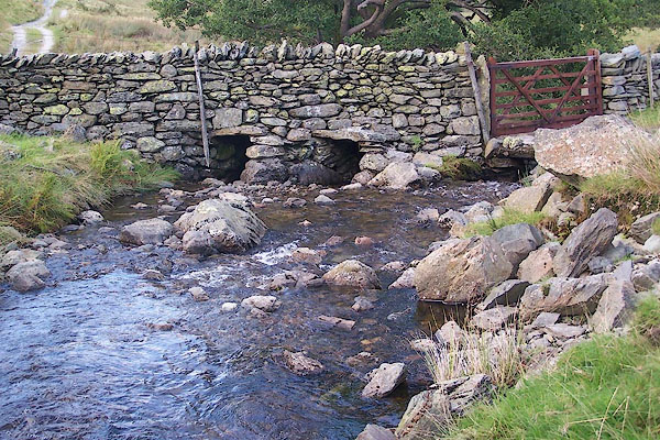 BRK45.jpg Stream crossed by wall and bridge, from above. (taken 9.9.2009) 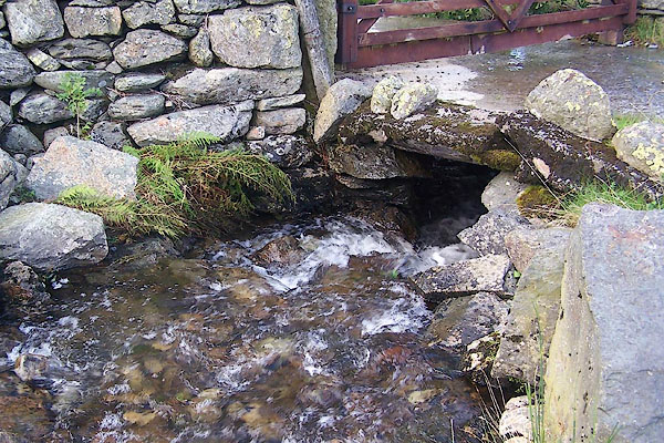 BRK46.jpg From above; the stream goes under the bridge and comes out the other side of the wall. (taken 9.9.2009) 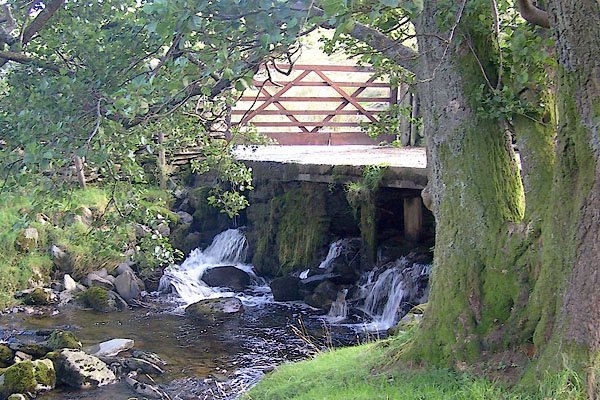 BRK47.jpg From below; the left part crosses under the bridge at the gate, from the far side of the wall; the right parts cross under the wall then under the bridge. (taken 9.9.2009) |
||
|
|
||
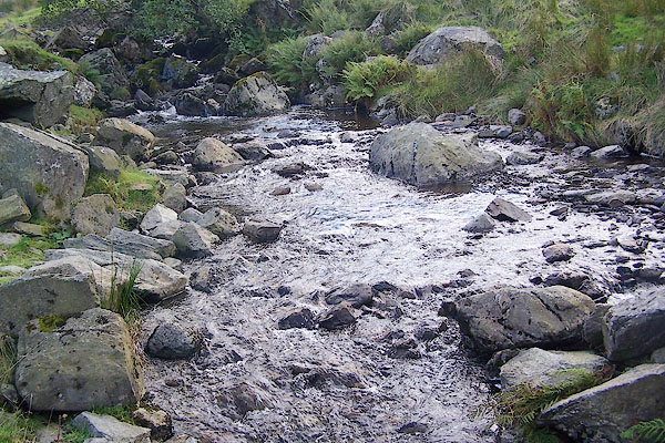 BRK48.jpg View of river. (taken 9.9.2009) |
||
|
|
||
 Lakes Guides menu.