 Old Cumbria Gazetteer
 |
 |
|
| Stagger Inn, Stainton with Adgarley | ||
| Stagger Inn | ||
| locality:- | Stainton with Adgarley | |
| civil parish:- | Urswick (formerly Lancashire) | |
| county:- | Cumbria | |
| locality type:- | inn | |
| coordinates:- | SD24837248 | |
| 1Km square:- | SD2472 | |
| 10Km square:- | SD27 | |
|
|
||
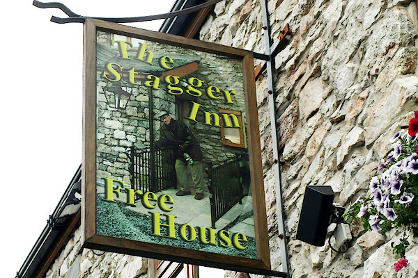 BRE36.jpg Innsign, a photograph of a customer. (taken 31.7.2009) 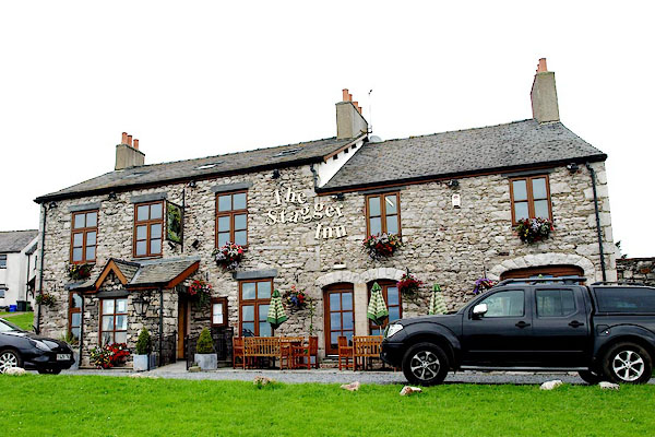 BRE35.jpg (taken 31.7.2009) |
||
|
|
||
| evidence:- | old map:- OS County Series (Lan 22 2) placename:- Farmers' Arms |
|
| source data:- | Maps, County Series maps of Great Britain, scales 6 and 25
inches to 1 mile, published by the Ordnance Survey, Southampton,
Hampshire, from about 1863 to 1948. |
|
|
|
||
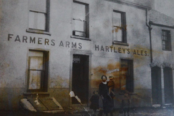 CAG72.jpg "FARMERS ARMS HARTLEYS ALES" (taken 4.4.2014) courtesy of the landlord 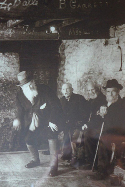 CAG73.jpg Skittles. (taken 4.4.2014) courtesy of the landlord |
||
|
|
||
 Lakes Guides menu.