 Old Cumbria Gazetteer
 |
 |
|
| Newby Bridge Farm, Newby Bridge | ||
| Newby Bridge Farm | ||
| locality:- | Newby Bridge | |
| civil parish:- | Staveley-in-Cartmel (formerly Lancashire) | |
| county:- | Cumbria | |
| locality type:- | buildings | |
| locality type:- | mill (ex) | |
| locality type:- | water mill (ex) | |
| locality type:- | corn mill (ex) | |
| coordinates:- | SD36598624 | |
| 1Km square:- | SD3686 | |
| 10Km square:- | SD38 | |
|
|
||
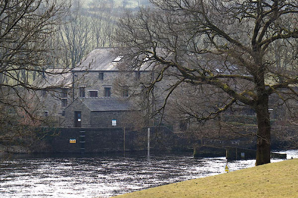 CER65.jpg (taken 11.3.2016) 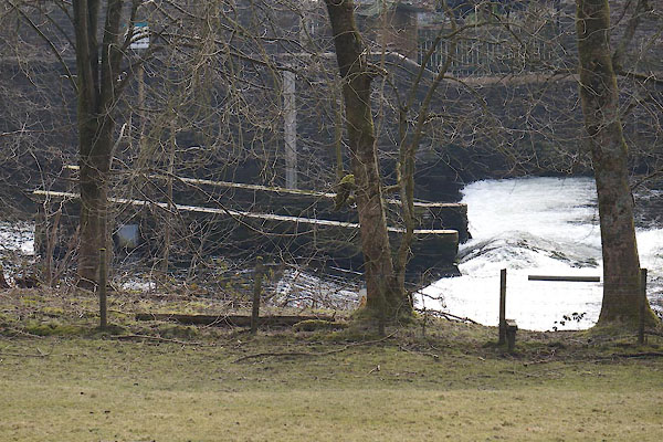 CER67.jpg Weir. (taken 11.3.2016) |
||
|
|
||
| evidence:- | old map:- OS County Series (Lan 8 14) placename:- Newby Bridge Mill |
|
| source data:- | Maps, County Series maps of Great Britain, scales 6 and 25
inches to 1 mile, published by the Ordnance Survey, Southampton,
Hampshire, from about 1863 to 1948. "Newby Bridge Mill (Corn) / Sluices / Mill Race" |
|
|
|
||
| evidence:- | database:- Listed Buildings 2010 placename:- Newby Bridge Farm |
|
| source data:- | courtesy of English Heritage "NEWBY BRIDGE FARMHOUSE, ATTACHED OUTBUILDINGS, AND MILL (FORMERLY LISTED SEPARATELY) / / A590 / STAVELEY IN CARTMEL / SOUTH LAKELAND / CUMBRIA / II / 421908 / SD3659786245" |
|
|
|
||
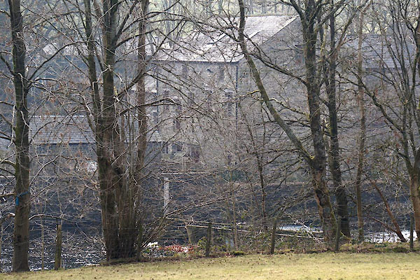 CER66.jpg (taken 11.3.2016) |
||
|
|
||
 Lakes Guides menu.