 Old Cumbria Gazetteer
 |
 |
|
| boundary sign, Mallerstang | ||
| locality:- | Mallerstang | |
| civil parish:- | Mallerstang (formerly Westmorland) | |
| county:- | Cumbria | |
| locality type:- | boundary sign | |
| locality type:- | county boundary mark | |
| locality type:- | roadsign | |
| coordinates:- | SD77849627 (approx) | |
| 1Km square:- | SD7796 | |
| 10Km square:- | SD79 | |
| current boundary | ||
| locality:- | Cumbria boundary | |
| old boundary | ||
| locality:- | Westmorland boundary | |
| site name:- | Yorkshire Dales National Park | |
| county:- | North Yorkshire | |
|
|
||
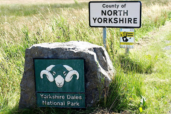 BRG08.jpg "County of / NORTH / YORKSHIRE" "Yorkshire Dales / National Park" (taken 3.8.2009) 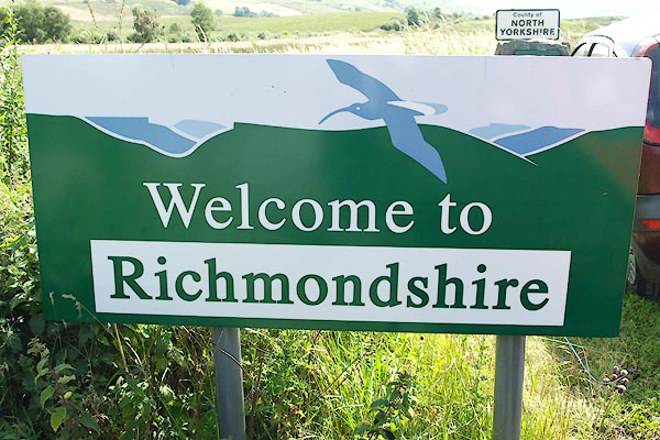 BRG07.jpg "Welcome to / Richmondshire" (taken 3.8.2009) |
||
|
|
||
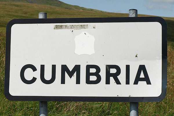 BRG09.jpg "CUMBRIA" (taken 3.8.2009) |
||
|
|
||
 Lakes Guides menu.