 Old Cumbria Gazetteer
 |
 |
|
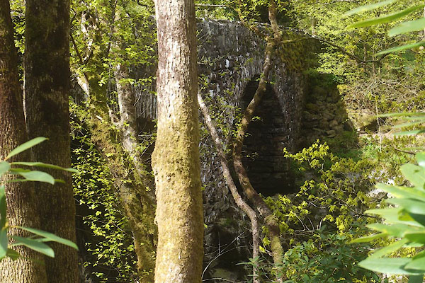
| Rawfold Bridge, Dunnerdale-with-Seathwaite | ||
| Rawfold Bridge | ||
| site name:- | Duddon, River | |
| civil parish:- | Dunnerdale-with-Seathwaite (formerly Lancashire) | |
| civil parish:- | Ulpha (formerly Cumberland) | |
| county:- | Cumbria | |
| locality type:- | bridge | |
| coordinates:- | SD19598968 | |
| 1Km square:- | SD1989 | |
| 10Km square:- | SD18 | |
|
|
||
 CFZ45.jpg (taken 28.4.2017) 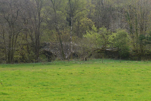 CFZ50.jpg (taken 28.4.2017) |
||
|
|
||
| evidence:- | old map:- OS County Series (Lan 6) placename:- Duddon Grove Bridge |
|
| source data:- | Maps, County Series maps of Great Britain, scales 6 and 25
inches to 1 mile, published by the Ordnance Survey, Southampton,
Hampshire, from about 1863 to 1948. OS County Series (Cmd 86 11) "Duddon Grove Bridge" |
|
|
|
||
| evidence:- | old map:- OS County Series (Cmd 86) placename:- Duddongrove Bridge |
|
| source data:- | Maps, County Series maps of Great Britain, scales 6 and 25
inches to 1 mile, published by the Ordnance Survey, Southampton,
Hampshire, from about 1863 to 1948. "Duddongrove Bridge" |
|
|
|
||
| evidence:- | old map:- OS County Series (Lan 6 7) placename:- Rawfold Bridge |
|
| source data:- | Maps, County Series maps of Great Britain, scales 6 and 25
inches to 1 mile, published by the Ordnance Survey, Southampton,
Hampshire, from about 1863 to 1948. |
|
|
|
||
| evidence:- | database:- Listed Buildings 2010 |
|
| source data:- | courtesy of English Heritage "RAWFOLD BRIDGE APPROXIMATELY 230 METRES TO NORTH EAST OF DUDDON HALL (THAT PART IN MILLOM WITHOUT CIVIL PARISH) / / / MILLOM WITHOUT / COPELAND / CUMBRIA / II / 76344 / SD1958789694" |
|
| source data:- | courtesy of English Heritage "RAWFOLD BRIDGE (THAT PART IN DUNNERDALE WITH SEATHWAITE) / / / DUNNERDALE WITH SEATHWAITE / SOUTH LAKELAND / CUMBRIA / II / 75846 / SD1959189693" |
|
| source data:- | courtesy of English Heritage "Bridge over River Duddon. Probably C18. Stone rubble. 2 segmental arches, that to east wider. Thin irregular voussoirs to south face, slightly thicker to north face; central pier on rock outcrop. Straight parapets. Part of this item is in Dunnerdale-with-Seathwaite CP." |
|
|
|
||
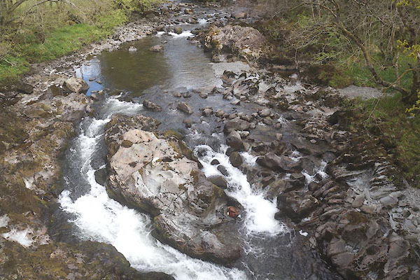 CFZ47.jpg View of river. From Rawfold Bridge, (taken 28.4.2017) 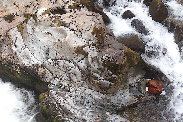 CFZ48.jpg View of river. From Rawfold Bridge, (taken 28.4.2017) 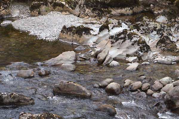 CFZ51.jpg View of river. From Rawfold Bridge, (taken 28.4.2017)  CFZ49.jpg View of river. From Rawfold Bridge, (taken 28.4.2017) |
||
|
|
||
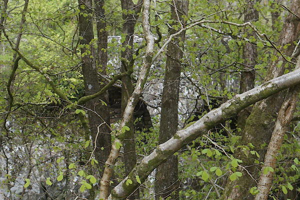 CFZ46.jpg (taken 28.4.2017) |
||
|
|
||
 Lakes Guides menu.