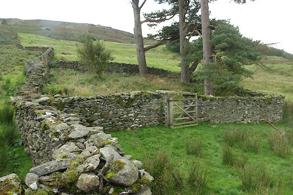


BXD84.jpg (taken 24.8.2012)

BXD87.jpg Benches along wall.
(taken 24.8.2012)
"Old Grave Yard (Quakers)"
placename:- Friends' Burial Ground
courtesy of English Heritage
"FRIENDS' BURIAL GROUND / / / DUNNERDALE WITH SEATHWAITE / SOUTH LAKELAND / CUMBRIA / II / 75857 / SD2038693450"
courtesy of English Heritage
"Burial ground. Used by Society of Friends C17 to C19. Stone rubble. Square enclosure approx. 15m square. Walls approx. 2m high with entrance opening to north, which has flat stone over. Stone benches to inner faces of walls."

BXD86.jpg Gateway.
(taken 24.8.2012)

BXD88.jpg Gate catch.
(taken 24.8.2012)

BXD85.jpg (taken 24.8.2012)

 Lakes Guides menu.