 Old Cumbria Gazetteer
 |
 |
|
| milestone, Bromfield (3) | ||
| locality:- | road, Workington to Wigton | |
| civil parish:- | Bromfield (formerly Cumberland) (?) | |
| county:- | Cumbria | |
| locality type:- | milestone | |
| coordinates:- | NY15134487 | |
| 1Km square:- | NY1544 | |
| 10Km square:- | NY14 | |
|
|
||
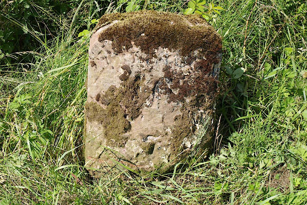 BRB25.jpg Inscribed stone:- "W[ 7] / [ ]" (taken 10.7.2009) |
||
|
|
||
| evidence:- | old map:- OS County Series (Cmd 28) |
|
| source data:- | Maps, County Series maps of Great Britain, scales 6 and 25
inches to 1 mile, published by the Ordnance Survey, Southampton,
Hampshire, from about 1863 to 1948. "WIGTON 7 WORKINGTON 16 M.S." |
|
|
|
||
| evidence:- | database:- Listed Buildings 2010 |
|
| source data:- | courtesy of English Heritage "MILESTONE EAST OF CROSSRIGGS / / / WESTNEWTON / ALLERDALE / CUMBRIA / II / 412702 / NY1513544879" |
|
| source data:- | courtesy of English Heritage "Milestone. Late C18 or early C19 for the Wigton-Workington Turnpike. Whitewashed stone. Round-topped stone inscribed on front WORKINGTON 16, WIGTON 7." |
|
|
|
||
 Lakes Guides menu.