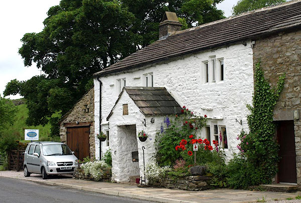


BQV23.jpg (taken 18.6.2009)

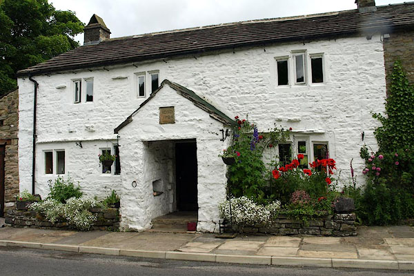
BQV24.jpg (taken 18.6.2009)
placename:- Low Scar
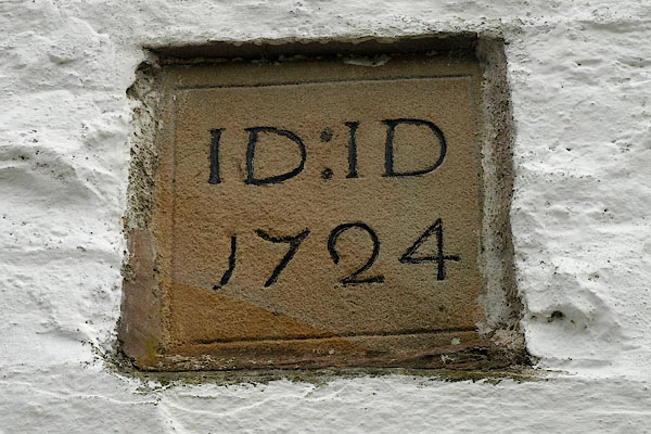
item:- date stone (1724)
courtesy of English Heritage
"LOW SCAR AND BARN ATTACHED TO EAST / / HAWES ROAD / GARSDALE / SOUTH LAKELAND / CUMBRIA / II / 484470 / SD7715690559"

BQV26.jpg Date stone:-
"ID : ID / 1724" (taken 18.6.2009)

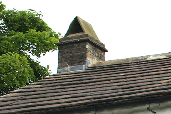
BQV25.jpg Chimney, sandstone slabs.
(taken 18.6.2009)

 Lakes Guides menu.