 Old Cumbria Gazetteer
 |
 |
|
| limekiln, Birker Moor (2) | ||
| locality:- | Birker Moor | |
| civil parish:- | Wharton (formerly Westmorland) | |
| county:- | Cumbria | |
| locality type:- | limekiln | |
| coordinates:- | NY76280408 | |
| 1Km square:- | NY7604 | |
| 10Km square:- | NY70 | |
|
|
||
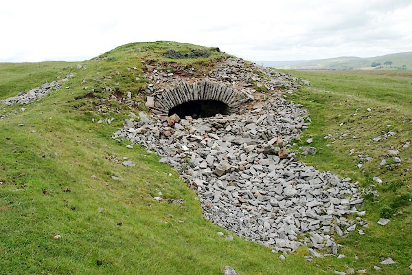 BQV51.jpg (taken 18.6.2009) 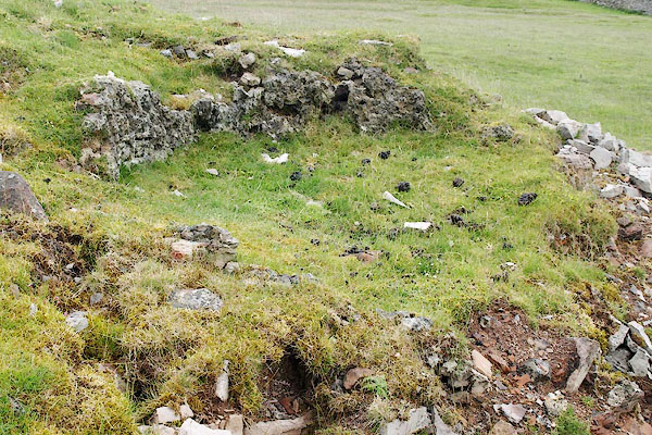 BQV52.jpg A ring of calcined rocks, the loading hole at the top. (taken 18.6.2009) |
||
|
|
||
 Lakes Guides menu.