 Old Cumbria Gazetteer
 |
 |
|
| Friar Well, Ennerdale and Kinniside | ||
| Friar Well | ||
| locality:- | Kinniside Common (?) | |
| civil parish:- | Ennerdale and Kinniside (formerly Cumberland) | |
| county:- | Cumbria | |
| locality type:- | spring | |
| coordinates:- | NY05611005 | |
| 1Km square:- | NY0510 | |
| 10Km square:- | NY01 | |
|
|
||
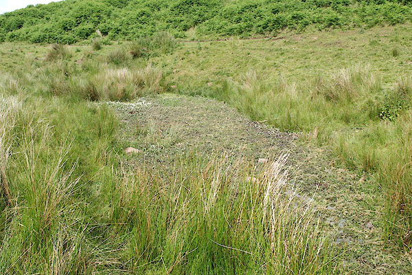 BQW68.jpg (taken 25.6.2009) 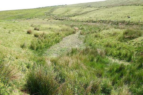 BQW69.jpg (taken 25.6.2009) |
||
|
|
||
| evidence:- | old map:- OS County Series (Cmd 73) placename:- Friar Well |
|
| source data:- | Maps, County Series maps of Great Britain, scales 6 and 25
inches to 1 mile, published by the Ordnance Survey, Southampton,
Hampshire, from about 1863 to 1948. "Friar Well" |
|
|
|
||
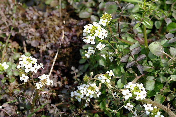 BQW70.jpg Watercress, Nastrurium officinale (taken 25.6.2009) |
||
|
|
||
 Lakes Guides menu.