 Old Cumbria Gazetteer
 |
 |
|
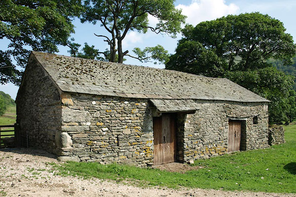
| barn, Longsleddale (8) | ||
| locality:- | Kilnstones | |
| civil parish:- | Longsleddale (formerly Westmorland) | |
| county:- | Cumbria | |
| locality type:- | barn | |
| coordinates:- | NY50210209 | |
| 1Km square:- | NY5002 | |
| 10Km square:- | NY50 | |
|
|
||
 BQY18.jpg (taken 29.6.2009) 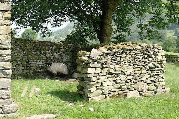 BQY19.jpg Enclosure at the W end of the barn. (taken 29.6.2009) |
||
|
|
||
| evidence:- | map:- OS Six Inch (1956) |
|
| source data:- | Map series, various editions with the national grid, scale about
6 inches to 1 mile, published by the Ordnance Survey,
Southampton, Hampshire, scale 1 to 10560 from 1950s to 1960s,
then 1 to 10000 from 1960s to 2000s, superseded by print on
demand from digital data.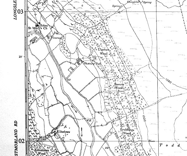 SINY5002.jpg |
|
|
|
||
 Lakes Guides menu.