 Old Cumbria Gazetteer
 |
 |
|
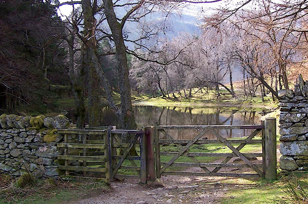
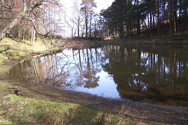
| Lanty's Tarn, Patterdale | ||
| Lanty's Tarn | ||
| civil parish:- | Patterdale (formerly Westmorland) | |
| county:- | Cumbria | |
| locality type:- | tarn | |
| coordinates:- | NY38381627 (etc) | |
| 1Km square:- | NY3816 | |
| 10Km square:- | NY31 | |
| altitude:- | 905 feet | |
| altitude:- | 276m | |
|
|
||
 BQG85.jpg (taken 17.3.2009) 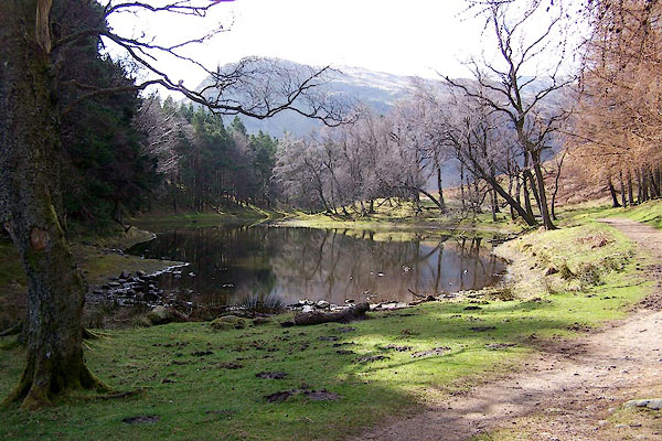 BQG84.jpg (taken 17.3.2009) |
||
|
|
||
| evidence:- | old map:- OS County Series (Wmd 12 10) placename:- Lanty's Tarn |
|
| source data:- | Maps, County Series maps of Great Britain, scales 6 and 25
inches to 1 mile, published by the Ordnance Survey, Southampton,
Hampshire, from about 1863 to 1948. |
|
|
|
||
 BQG83.jpg (taken 17.3.2009) |
||
|
|
||
| notes:- |
Once owned by Lancelot Dobson of Grassthwaite Howe. |
|
|
|
||
 Lakes Guides menu.