 Old Cumbria Gazetteer
 |
 |
|
| Glenridding Screes, Patterdale | ||
| Glenridding Screes | ||
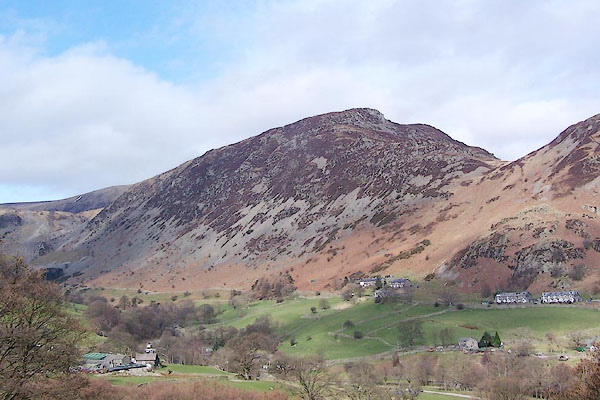
| site name:- | Sheffield Pike | |
| locality:- | Glenridding | |
| civil parish:- | Patterdale (formerly Westmorland) | |
| county:- | Cumbria | |
| locality type:- | hill | |
| locality type:- | scree | |
| coordinates:- | NY371175 (etc) | |
| 1Km square:- | NY3717 | |
| 10Km square:- | NY31 | |
|
|
||
 BQG81.jpg (taken 17.3.2009) |
||
|
|
||
| evidence:- | old map:- OS County Series (Wmd 12 6) placename:- Glenridding Screes |
|
| source data:- | Maps, County Series maps of Great Britain, scales 6 and 25
inches to 1 mile, published by the Ordnance Survey, Southampton,
Hampshire, from about 1863 to 1948. |
|
|
|
||
 Lakes Guides menu.