 Old Cumbria Gazetteer
 |
 |
|
| included in:- |
 All Saints, Culgaith All Saints, Culgaith |
|
| sundial, Culgaith | ||
| site name:- | All Saints Church | |
| locality:- | Culgaith | |
| civil parish:- | Culgaith (formerly Cumberland) | |
| county:- | Cumbria | |
| locality type:- | sundial | |
| coordinates:- | NY61022966 | |
| 1Km square:- | NY6129 | |
| 10Km square:- | NY62 | |
|
|
||
 BMF29.jpg (taken 2.6.2006) 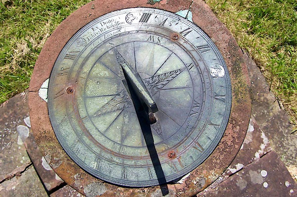 BMF27.jpg (taken 2.6.2006) |
||
|
|
||
| evidence:- | old map:- OS County Series (Cmd 59 4) |
|
| source data:- | Maps, County Series maps of Great Britain, scales 6 and 25
inches to 1 mile, published by the Ordnance Survey, Southampton,
Hampshire, from about 1863 to 1948. "All Saints Church / .. / Sun Dial" |
|
|
|
||
| evidence:- | database:- Listed Buildings 2010 |
|
| source data:- | courtesy of English Heritage "SUNDIAL TO SOUTH WEST OF ALL SAINTS CHURCH / / B6412 / CULGAITH / EDEN / CUMBRIA / II / 73149 / NY6102529656" |
|
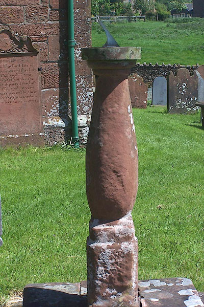
| source data:- | courtesy of English Heritage "Sundial, probably mid C18. Square plinth on stepped base carries cylindrical baluster shaft with moulded capital. Circular brass plate lacks gnomon: Ex Dono Johis Richardson. COLE, LONDON." |
|
|
|
||
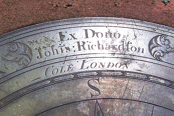 BMF28.jpg Inscribed:- "Ex Dono Joh~is Richardson / COLE LONDON" (taken 2.6.2006) |
||
|
|
||
| notes:- |
Cumbrian Sundials database, R Sylvester, 29.5.2008:- |
|
| "Culgaith near Penrith / On right of church porch" |
||
| made 1800 |
||
| British Sundial Society reference number 211 |
||
|
|
||
Lakes Guides menu.