 Old Cumbria Gazetteer
 |
 |
|
| Corneyflat Bridge, Dean | ||
| Corneyflat Bridge | ||
| site name:- | Corneyflat Beck | |
| Street:- | Featherbed Loaning | |
| civil parish:- | Dean (formerly Cumberland) | |
| county:- | Cumbria | |
| locality type:- | bridge | |
| coordinates:- | NY07092623 | |
| 1Km square:- | NY0726 | |
| 10Km square:- | NY02 | |
|
|
||
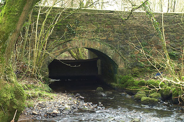 BQD20.jpg (taken 17.2.2009) |
||
|
|
||
| evidence:- | old map:- OS County Series (Cmd 54 14) placename:- Corneyflat Bridge |
|
| source data:- | Maps, County Series maps of Great Britain, scales 6 and 25
inches to 1 mile, published by the Ordnance Survey, Southampton,
Hampshire, from about 1863 to 1948. |
|
|
|
||
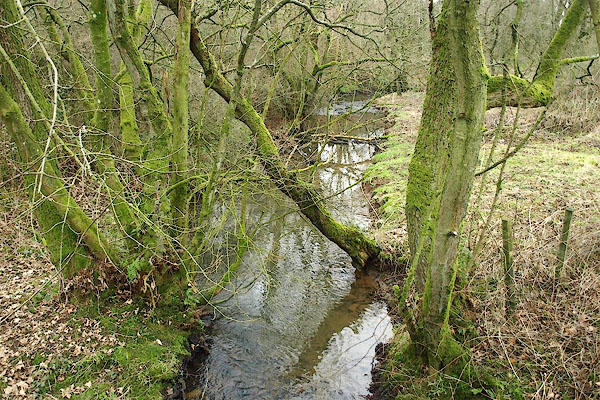 BQD21.jpg View of river. (taken 17.2.2009) |
||
|
|
||
 Lakes Guides menu.