 Old Cumbria Gazetteer
 |
 |
|
| stepping stones, Howgate | ||
| site name:- | St John's Beck | |
| site name:- | Howgate | |
| locality:- | St John's in the Vale | |
| civil parish:- | St John's Castlerigg and Wythburn (formerly Cumberland) | |
| county:- | Cumbria | |
| locality type:- | stepping stones | |
| coordinates:- | NY31212276 | |
| 1Km square:- | NY3122 | |
| 10Km square:- | NY32 | |
|
|
||
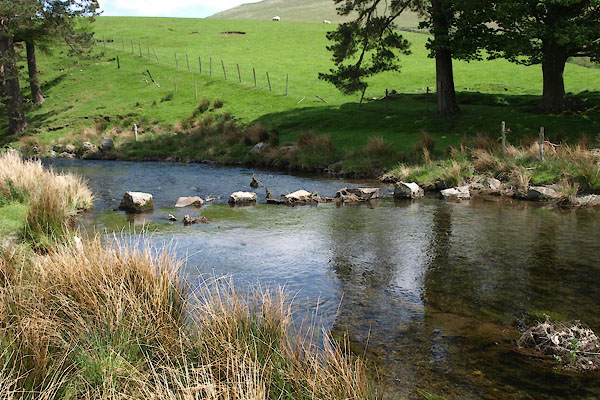 BYI61.jpg (taken 21.5.2013) 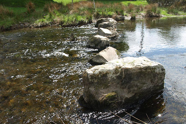 BYI62.jpg (taken 21.5.2013) |
||
|
|
||
| evidence:- | old map:- OS County Series (Cmd 64 8) placename:- Howgate |
|
| source data:- | Maps, County Series maps of Great Britain, scales 6 and 25
inches to 1 mile, published by the Ordnance Survey, Southampton,
Hampshire, from about 1863 to 1948. "Stepping Stones" Just by Howgate. |
|
|
|
||
| evidence:- | old print:- Fielding and Walton 1821 (plate 39) |
|
| source data:- | Print, coloured aquatint, Cottages in St John's Vale, Cumberland, drawn by Theodore
H A Fielding, published by R Ackermann, 101 Strand, London, 1821.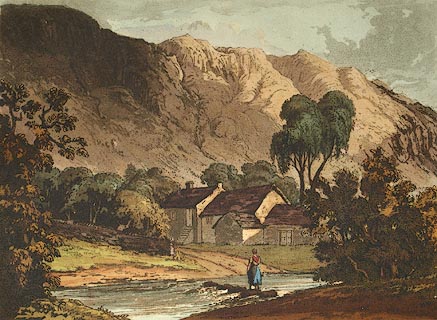 click to enlarge click to enlargeFW0139.jpg The stepping stones crossed the St John's Beck to Howgate. Tipped in opposite p.257 in A Picturesque Tour of the English Lakes. item:- Dove Cottage : 1993.R566.39 Image © see bottom of page |
|
|
|
||
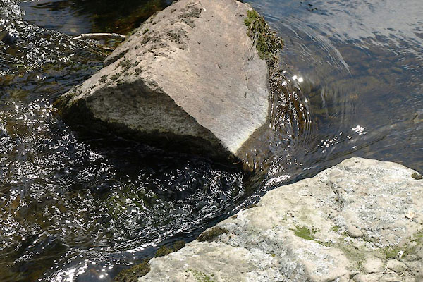 BYI63.jpg (taken 21.5.2013) |
||
|
|
||
 Lakes Guides menu.