 Old Cumbria Gazetteer
 |
 |
|
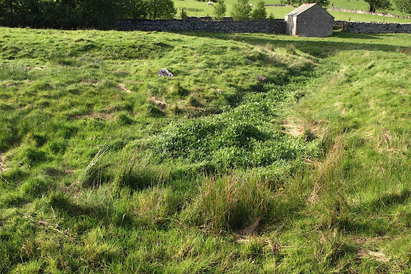
| St Helen's Well, Newbiggin-on-Lune | ||
| St Helen's Well | ||
| locality:- | Newbiggin-on-Lune | |
| civil parish:- | Ravenstonedale (formerly Westmorland) | |
| county:- | Cumbria | |
| locality type:- | spring | |
| coordinates:- | NY70790527 | |
| 1Km square:- | NY7005 | |
| 10Km square:- | NY70 | |
|
|
||
 BPR79.jpg (taken 3.10.2008) |
||
|
|
||
| evidence:- | old map:- OS County Series (Wmd 29 8) placename:- St Helen's Well |
|
| source data:- | Maps, County Series maps of Great Britain, scales 6 and 25
inches to 1 mile, published by the Ordnance Survey, Southampton,
Hampshire, from about 1863 to 1948. |
|
|
|
||
 Lakes Guides menu.