 Old Cumbria Gazetteer
 |
 |
|
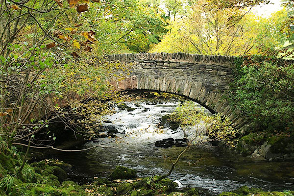
| Scroggs Bridge, Hugill | ||
| Scroggs Bridge | ||
| site name:- | Kent, River | |
| locality:- | Scroggs | |
| civil parish:- | Hugill (formerly Westmorland) | |
| county:- | Cumbria | |
| locality type:- | bridge | |
| coordinates:- | SD46719945 | |
| 1Km square:- | SD4699 | |
| 10Km square:- | SD49 | |
|
|
||
 BPS56.jpg (taken 17.10.2008) 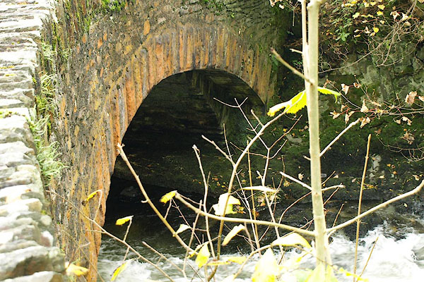 BPS57.jpg This side of the bridge seems to have been widened. (taken 17.10.2008) |
||
|
|
||
| evidence:- | old map:- OS County Series (Wmd 33 6) placename:- Scroggs Bridge |
|
| source data:- | Maps, County Series maps of Great Britain, scales 6 and 25
inches to 1 mile, published by the Ordnance Survey, Southampton,
Hampshire, from about 1863 to 1948. |
|
|
|
||
| evidence:- | old map:- Jefferys 1770 (Wmd) |
|
| source data:- | Map, 4 sheets, The County of Westmoreland, scale 1 inch to 1
mile, surveyed 1768, and engraved and published by Thomas
Jefferys, London, 1770.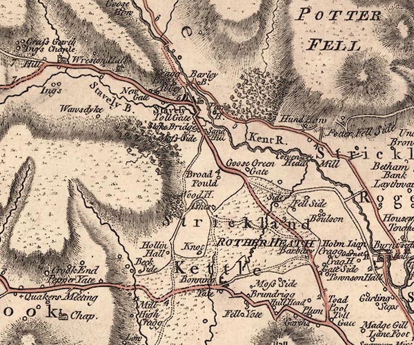 J5SD49NE.jpg double line, road, across a stream; bridge item:- National Library of Scotland : EME.s.47 Image © National Library of Scotland |
|
|
|
||
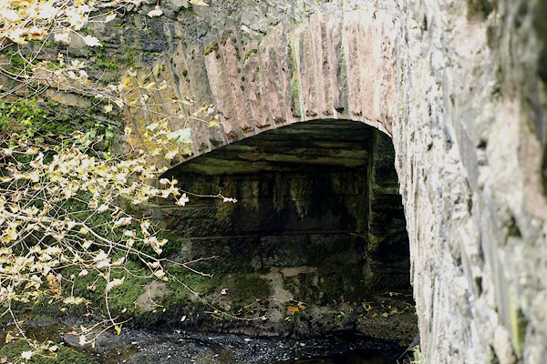 BPS58.jpg One side of this face of the bridge is widened for the approach road. (taken 17.10.2008) |
||
|
|
||
 Lakes Guides menu.