 Old Cumbria Gazetteer
 |
 |
|
| Rumbling Bridge, Holme Abbey | ||
| Rumbling Bridge | ||
| civil parish:- | Holme Abbey (formerly Cumberland) | |
| county:- | Cumbria | |
| locality type:- | bridge | |
| coordinates:- | NY16805218 | |
| 1Km square:- | NY1652 | |
| 10Km square:- | NY15 | |
|
|
||
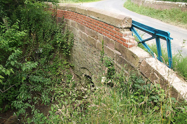 BPN33.jpg With a name ike that one expects something more dramatic. (taken 26.7.2008) |
||
|
|
||
| evidence:- | old map:- OS County Series (Cmd 21 14) placename:- Rumbling Bridge |
|
| source data:- | Maps, County Series maps of Great Britain, scales 6 and 25
inches to 1 mile, published by the Ordnance Survey, Southampton,
Hampshire, from about 1863 to 1948. |
|
|
|
||
 Lakes Guides menu.