 Old Cumbria Gazetteer
 |
 |
|
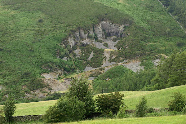
| quarry, Lorton | ||
| civil parish:- | Lorton (formerly Cumberland) | |
| county:- | Cumbria | |
| locality type:- | slate quarry (?) | |
| locality type:- | quarry | |
| coordinates:- | NY17702582 | |
| 1Km square:- | NY1725 | |
| 10Km square:- | NY12 | |
|
|
||
 BPJ76.jpg (taken 30.6.2008) 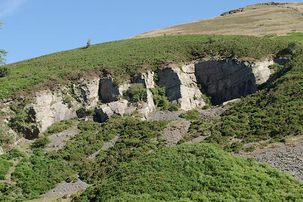 BSX66.jpg (taken 13.7.2010) |
||
|
|
||
| evidence:- | old map:- OS County Series (Cmd 55 14) |
|
| source data:- | Maps, County Series maps of Great Britain, scales 6 and 25
inches to 1 mile, published by the Ordnance Survey, Southampton,
Hampshire, from about 1863 to 1948. "Quarry" |
|
|
|
||
 Lakes Guides menu.