 Old Cumbria Gazetteer
 |
 |
|
| quaker burial ground, Preston Richard | ||
| Street:- | Sepulchre Lane | |
| civil parish:- | Preston Richard (formerly Westmorland) | |
| county:- | Cumbria | |
| locality type:- | quaker burial ground | |
| locality type:- | burial ground | |
| coordinates:- | SD53918651 | |
| 1Km square:- | SD5386 | |
| 10Km square:- | SD58 | |
|
|
||
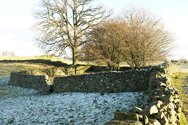 BPW28.jpg (taken 2.1.2009) 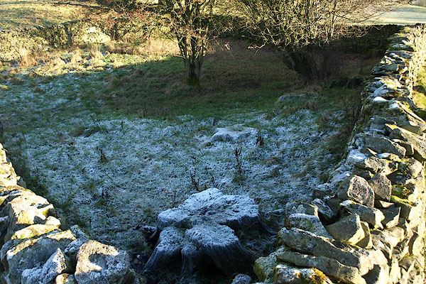 BPW29.jpg (taken 2.1.2009) |
||
|
|
||
| evidence:- | old map:- OS County Series (Wmd 43 5) |
|
| source data:- | Maps, County Series maps of Great Britain, scales 6 and 25
inches to 1 mile, published by the Ordnance Survey, Southampton,
Hampshire, from about 1863 to 1948. "Sepulchre" |
|
|
|
||
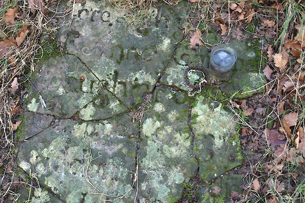 BPW30.jpg Someone still cares. (taken 2.1.2009) |
||
|
|
||
 Lakes Guides menu.