 Old Cumbria Gazetteer
 |
 |
|
| Nettle Slack, Dunnerdale-with-Seathwaite | ||
| Nettle Slack | ||
| civil parish:- | Dunnerdale-with-Seathwaite (formerly Lancashire) | |
| county:- | Cumbria | |
| locality type:- | building/s (ruin) | |
| coordinates:- | SD22989716 | |
| 1Km square:- | SD2297 | |
| 10Km square:- | SD29 | |
| references:- | OS County Series |
|
|
|
||
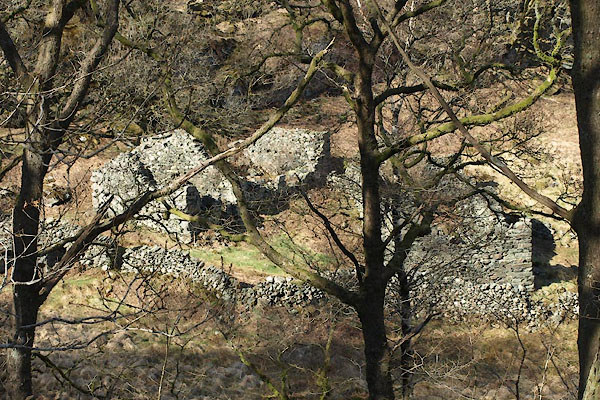 BYG02.jpg (taken 27.4.2013) 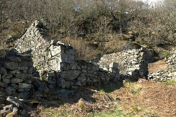 BYG04.jpg (taken 27.4.2013) |
||
|
|
||
| evidence:- | old map:- OS County Series placename:- Nettle Slack |
|
| source data:- | Maps, County Series maps of Great Britain, scales 6 and 25
inches to 1 mile, published by the Ordnance Survey, Southampton,
Hampshire, from about 1863 to 1948. "Nettle Slack Ruin" |
|
|
|
||
| evidence:- | old map:- Donald 1774 (Cmd) placename:- Nettle Slack |
|
| source data:- | Map, hand coloured engraving, 3x2 sheets, The County of Cumberland, scale about 1
inch to 1 mile, by Thomas Donald, engraved and published by Joseph Hodskinson, 29
Arundel Street, Strand, London, 1774.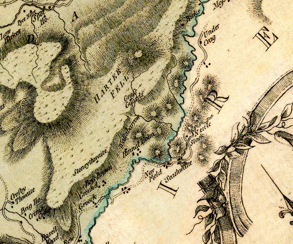 D4SD29NW.jpg "Nettle Slack" block or blocks, labelled in lowercase; a hamlet or just a house item:- Carlisle Library : Map 2 Image © Carlisle Library |
|
|
|
||
| evidence:- | old map:- Ford 1839 map placename:- Nettle Stack |
|
| source data:- | Map, uncoloured engraving, Map of the Lake District of
Cumberland, Westmoreland and Lancashire, scale about 3.5 miles
to 1 inch, published by Charles Thurnam, Carlisle, and by R
Groombridge, 5 Paternoster Row, London, 3rd edn 1843.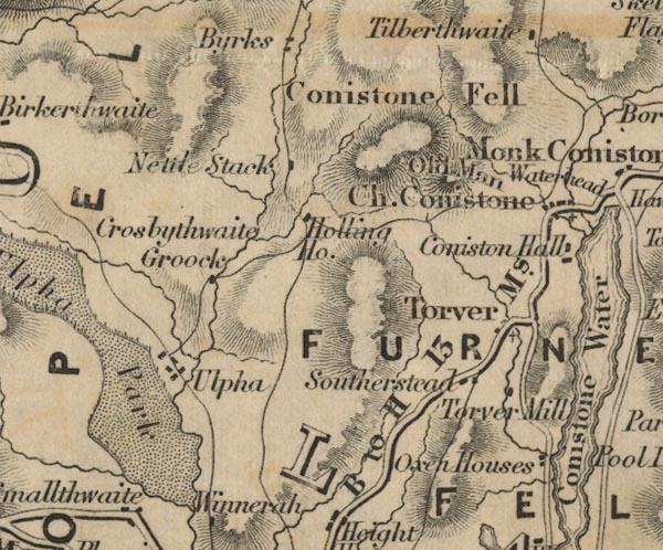 FD02SD29.jpg "Nettle Stack" item:- JandMN : 100.1 Image © see bottom of page |
|
|
|
||
 BYG03.jpg (taken 27.4.2013) 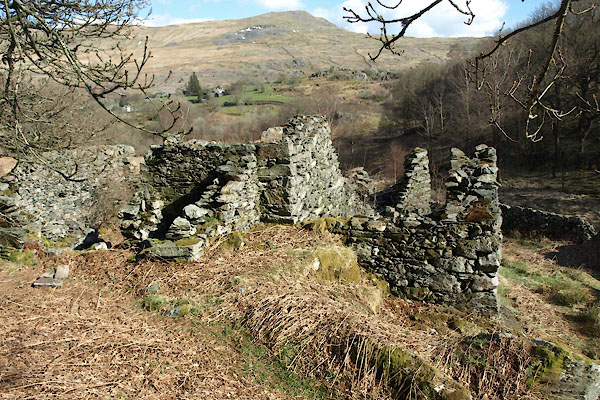 BYG05.jpg (taken 27.4.2013) 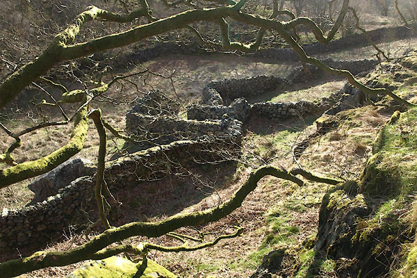 BYG06.jpg (taken 27.4.2013) |
||
|
|
||
 Lakes Guides menu.