 Old Cumbria Gazetteer
 |
 |
|
| Midgeholme Bridge, Low Midgeholme | ||
| Midgeholme Bridge | ||
| site name:- | Hartley Burn | |
| locality:- | Low Midgeholme | |
| civil parish:- | Midgeholme (formerly Cumberland) | |
| county:- | Cumbria | |
| locality type:- | bridge | |
| coordinates:- | NY64015893 | |
| 1Km square:- | NY6458 | |
| 10Km square:- | NY65 | |
|
|
||
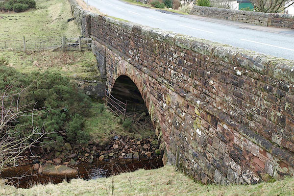 BPX74.jpg (taken 16.1.2009) 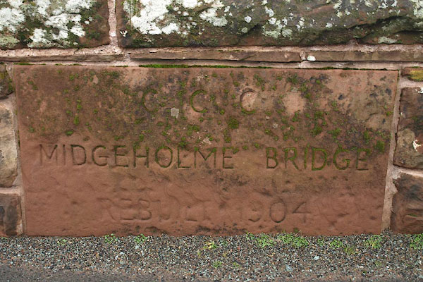 BPX75.jpg Plaque:- "C.C.C. / MIDGEHOLME BRIDGE / REBUILT 1904" (taken 16.1.2009) |
||
|
|
||
| evidence:- | old map:- Bell 1892 placename:- Midgeholme Bridge |
|
| source data:- | Map, colour lithograph, Road Map of Cumberland, by George Joseph
Bell, scale about 2.5 miles to 1 inch, printed by Charles
Thurnam and Sons, Carlisle, Cumberland, 1892.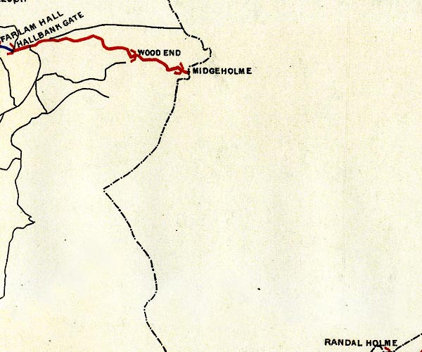 BEL9NY65.jpg "MIDGEHOLME" bridge symbol Road map of Cumberland showing County Bridges item:- Carlisle Library : Map 38 Image © Carlisle Library |
|
|
|
||
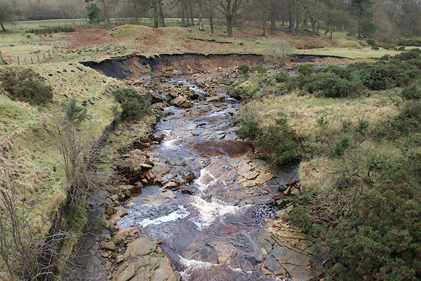 BPX76.jpg View of river. (taken 16.1.2009) 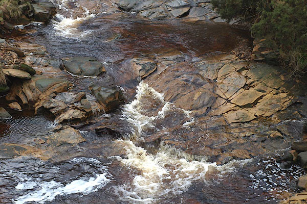 BPX77.jpg View of river. (taken 16.1.2009) |
||
|
|
||
 Lakes Guides menu.