 Old Cumbria Gazetteer
 |
 |
|
| Low Lonning, Farlam | ||
| Low Lonning | ||
| civil parish:- | Farlam (formerly Cumberland) | |
| county:- | Cumbria | |
| locality type:- | buildings | |
| coordinates:- | NY56766035 | |
| 1Km square:- | NY5660 | |
| 10Km square:- | NY56 | |
|
|
||
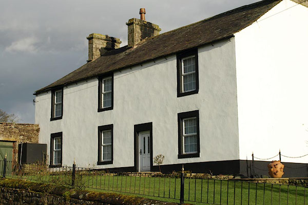 BPX57.jpg (taken 16.1.2009) 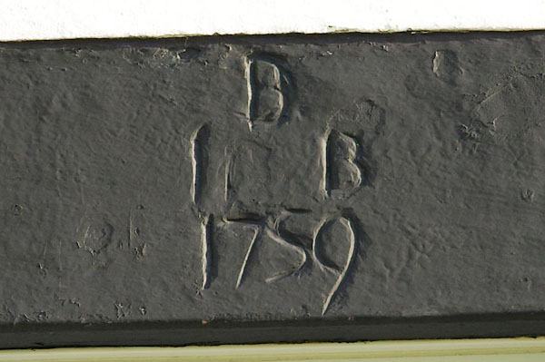 BPX58.jpg Date stone, "B / I B / 1759" (taken 16.1.2009) |
||
|
|
||
| evidence:- | old map:- Donald 1774 (Cmd) placename:- Low Loning placename:- Loning, Low |
|
| source data:- | Map, hand coloured engraving, 3x2 sheets, The County of Cumberland, scale about 1
inch to 1 mile, by Thomas Donald, engraved and published by Joseph Hodskinson, 29
Arundel Street, Strand, London, 1774.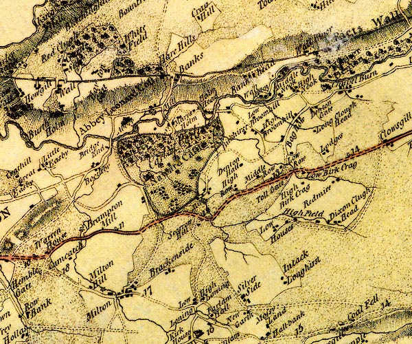 D4NY56SE.jpg "Low Loning" block or blocks, labelled in lowercase; a hamlet or just a house item:- Carlisle Library : Map 2 Image © Carlisle Library |
|
|
|
||
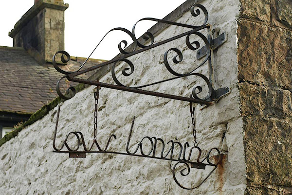 BPX59.jpg Simple wrought iron name sign. (taken 16.1.2009) |
||
|
|
||
 Lakes Guides menu.