 Old Cumbria Gazetteer
 |
 |
|
| included in:- |
 limekilns, Coniston Limestone Series limekilns, Coniston Limestone Series |
|
| limekiln, Stockdale | ||
| site name:- | Stockdale | |
| civil parish:- | Longsleddale (formerly Westmorland) | |
| county:- | Westmorland | |
| locality type:- | limekiln | |
| locality type:- | Coniston limestone series | |
| locality type:- | kiln | |
| locality type:- | geological site | |
| coordinates:- | NY49200550 | |
| 1Km square:- | NY4905 | |
| 10Km square:- | NY40 | |
| stratigraphy:- | Coniston Limestone Series | |
|
|
||
| MN photo:- |
This is where the OS County Series maps show an 'Old limekiln'; the south side of
the junction of a minor stream entering the Stockdale Beck (just below a waterfall).
There is no obvious structure; it could just be hillside; but the fallen larch trees
don't make it easy! |
|
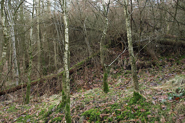 BSC98.jpg (taken 8.2.2010) 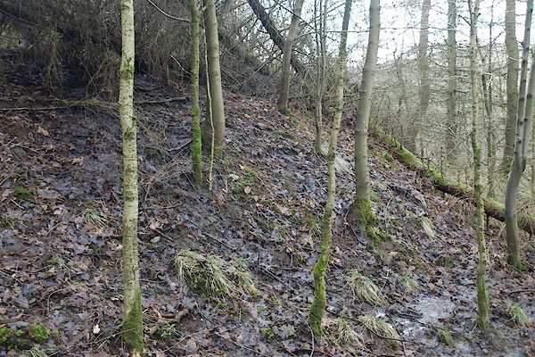 BSC99.jpg (taken 8.2.2010) |
||
|
|
||
| evidence:- | old map:- OS County Series (Wmd 27 7) |
|
| source data:- | Maps, County Series maps of Great Britain, scales 6 and 25
inches to 1 mile, published by the Ordnance Survey, Southampton,
Hampshire, from about 1863 to 1948. "Limekiln" |
|
|
|
||
| evidence:- | map:- OS Six Inch (1956) |
|
| source data:- | Map series, various editions with the national grid, scale about
6 inches to 1 mile, published by the Ordnance Survey,
Southampton, Hampshire, scale 1 to 10560 from 1950s to 1960s,
then 1 to 10000 from 1960s to 2000s, superseded by print on
demand from digital data.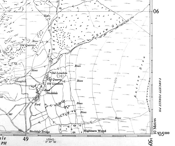 SINY4905.jpg "Old Limekiln" |
|
|
|
||
| MN photo:- |
There is a structure at the junction of Brow Gill and the Stockdale Beck, about 50m
N of the limekiln site, NY49200555. It is not clear what it was. |
|
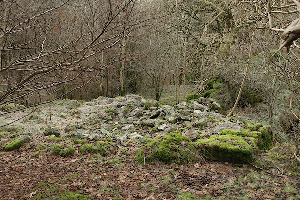 BSB42.jpg (taken 3.2.2010) 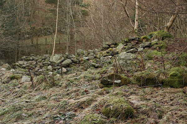 BSB43.jpg (taken 3.2.2010) |
||
|
|
||
Lakes Guides menu.