 Old Cumbria Gazetteer
 |
 |
|
| tarn, Aspatria | ||
| runs into:- |  Sandwith Beck Sandwith Beck |
|
|
|
||
| gone | ||
| civil parish:- | Aspatria (formerly Cumberland) | |
| county:- | Cumbria | |
| locality type:- | tarn (? drained) | |
| coordinates:- | NY161436 (about) | |
| 1Km square:- | NY1643 | |
| 10Km square:- | NY14 | |
| SummaryText:- | top of Sandwith Beck? | |
|
|
||
| evidence:- | old map:- Donald 1774 (Cmd) |
|
| source data:- | Map, hand coloured engraving, 3x2 sheets, The County of Cumberland, scale about 1
inch to 1 mile, by Thomas Donald, engraved and published by Joseph Hodskinson, 29
Arundel Street, Strand, London, 1774.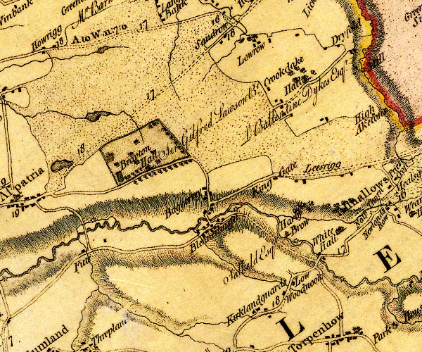 D4NY14SE.jpg lake item:- Carlisle Library : Map 2 Image © Carlisle Library |
|
|
|
||
| evidence:- | perhaps old map:- OS 1840s-60s Old Series (sheet 101 NE) |
|
| source data:- | Map series, parts of Westmorland, Cumberland etc, Old Series 1
inch maps of England, scale 1 inch to 1 mile, published by the
Ordnance Survey, London, 1840s-60s. small outline could be a lake |
|
|
|
||
Lakes Guides menu.