 Old Cumbria Gazetteer
 |
 |
|
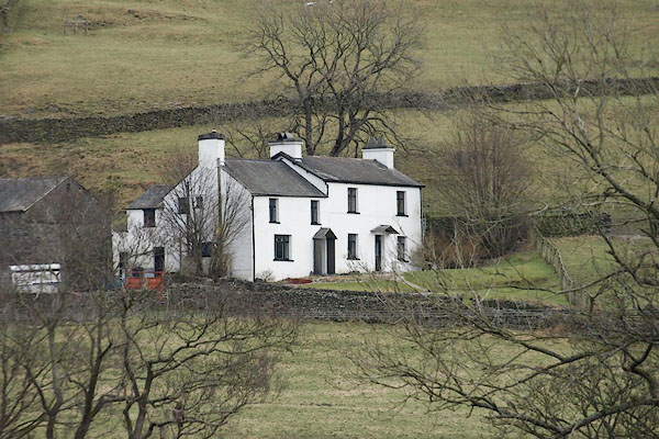
| Grove, Windermere | ||
| Grove | ||
| locality:- | Banner Rigg | |
| civil parish:- | Windermere (formerly Westmorland) | |
| county:- | Cumbria | |
| locality type:- | buildings | |
| coordinates:- | SD42279902 | |
| 1Km square:- | SD4299 | |
| 10Km square:- | SD49 | |
|
|
||
 BQB38.jpg (taken 12.2.2009) 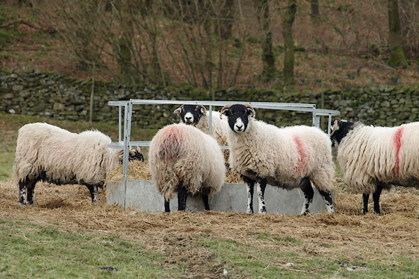 BQB39.jpg Sheep feeder, and Swaledale sheep. The smit mark is a red stroke down nearside ribs - which I haven't traced in the current Shepherd's Guide. Unless it is for farmers elsewhere in Troutbeck with their sheep wintering here? (taken 12.2.2009) |
||
|
|
||
| evidence:- | old map:- OS County Series (Wmd 32 8) placename:- Grove |
|
| source data:- | Maps, County Series maps of Great Britain, scales 6 and 25
inches to 1 mile, published by the Ordnance Survey, Southampton,
Hampshire, from about 1863 to 1948. |
|
|
|
||
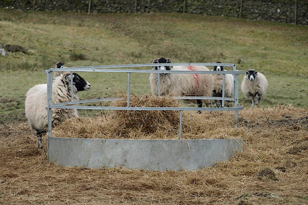 BQB40.jpg Sheep feeder. (taken 12.2.2009) |
||
|
|
||
 Lakes Guides menu.