Old Cumbria Gazetteer
 |
 |
|
||
| Greendale Gill | ||||
| runs into:- |  Wast Water Wast Water |
|||
|
|
||||
| civil parish:- | Nether Wasdale (formerly Cumberland) | |||
| county:- | Cumbria | |||
| locality type:- | river | |||
| 1Km square:- | NY1406 (etc) | |||
| 10Km square:- | NY10 | |||
|
|
||||
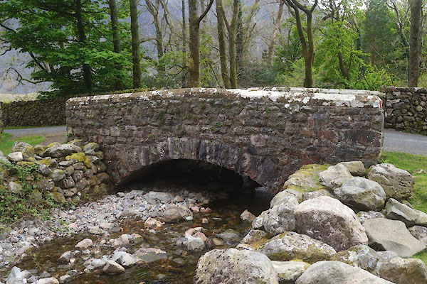
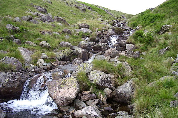
 BPK57.jpg (taken 30.6.2008) 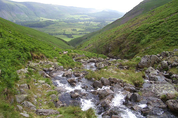 BPK58.jpg (taken 30.6.2008) |
||||
|
|
||||
| evidence:- | old map:- OS County Series (Cmd 74 13) placename:- Greendale Gill |
|||
| source data:- | Maps, County Series maps of Great Britain, scales 6 and 25
inches to 1 mile, published by the Ordnance Survey, Southampton,
Hampshire, from about 1863 to 1948. |
|||
|
|
||||
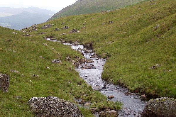
 BPK59.jpg (taken 30.6.2008) 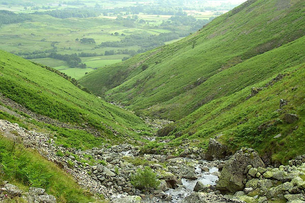 BPK60.jpg (taken 30.6.2008) 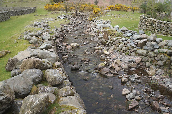 CFZ89.jpg (taken 28.4.2017) |
||||
|
|
||||
| places:- |
|
|||
Lakes Guides menu.