 |
 |
   |
|
|
|
Gilgarran |
| civil parish:- |
Distington (formerly Cumberland) |
| county:- |
Cumbria |
| locality type:- |
locality |
| locality type:- |
buildings |
| coordinates:- |
NY03202302 (etc) |
| 1Km square:- |
NY0323 |
| 10Km square:- |
NY02 |
|
|
| evidence:- |
old map:- OS County Series (Cmd 61 8)
placename:- Gilgarran
|
| source data:- |
Maps, County Series maps of Great Britain, scales 6 and 25
inches to 1 mile, published by the Ordnance Survey, Southampton,
Hampshire, from about 1863 to 1948.
|
|
|
| evidence:- |
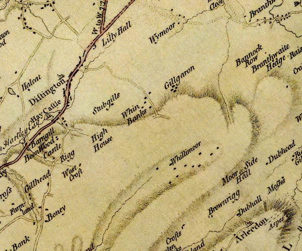
old map:- Donald 1774 (Cmd)
placename:- Gillgaron
|
| source data:- |
Map, hand coloured engraving, 3x2 sheets, The County of Cumberland, scale about 1
inch to 1 mile, by Thomas Donald, engraved and published by Joseph Hodskinson, 29
Arundel Street, Strand, London, 1774.

D4NY02SW.jpg
"Gillgaron"
block or blocks, labelled in lowercase; a hamlet or just a house
item:- Carlisle Library : Map 2
Image © Carlisle Library |
|
|
| evidence:- |
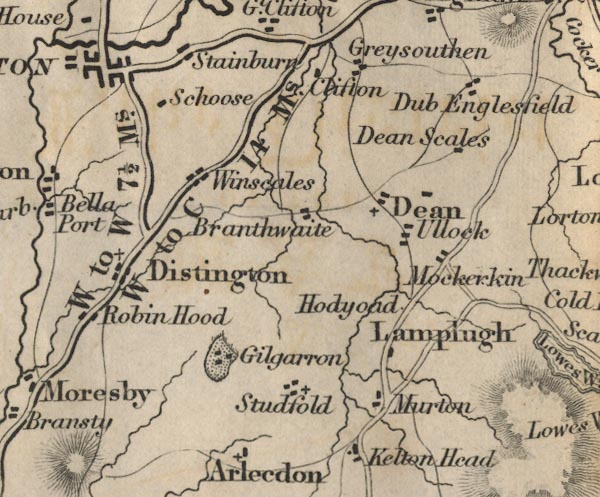
old map:- Ford 1839 map
placename:- Gilgarron
|
| source data:- |
Map, uncoloured engraving, Map of the Lake District of
Cumberland, Westmoreland and Lancashire, scale about 3.5 miles
to 1 inch, published by Charles Thurnam, Carlisle, and by R
Groombridge, 5 Paternoster Row, London, 3rd edn 1843.

FD02NY02.jpg
"Gilgarron"
Buildings and park.
item:- JandMN : 100.1
Image © see bottom of page
|
|
|
hearsay:-
|
In the wall of an orchard, where he is buried, is a memorial
|
|
"[July 9, 1669. / Here Henry Birkett / lyes, whoe lived and dyed / A Godly Christian
led by / Scrypture guide. / Whose trade at sea / from port to port was cast, / Now
he arrives the haven / of havens at last.]"
|
|
|
| places:- |
 |
NY03762334 Colingate (Distington) |
|
|
 |
NY03192296 Gilgarran Farm (Distington) |
|
|
 |
NY03272320 Gilgarran Gill (Distington) |
|
|
 |
NY03212311 Home farm (Distington) |
|
|
 |
NY03812309 Saw Mill Quarry (Distington) |
|
|
 |
NY03052286 Gilgarran House (Distington) gone |
|
|
 |
NY03202300 icehouse, Gilgarran (Distington) gone |
|


