 Old Cumbria Gazetteer
 |
 |
|
| geological site, Orton S | ||
| site name:- | road, Kendal to Shap | |
| civil parish:- | Orton S (formerly Westmorland) | |
| county:- | Cumbria | |
| locality type:- | geological site | |
| locality type:- | cutting | |
| coordinates:- | NY55520544 | |
| 1Km square:- | NY5505 | |
| 10Km square:- | NY50 | |
|
|
||
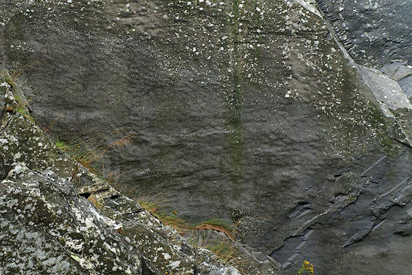
 BPQ28.jpg Bedding at a steep angle; cracked and jointed, the rock is very leaky. (taken 24.8.2008) 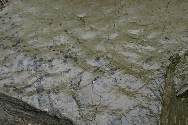 BPQ29.jpg Ripple marks. (taken 24.8.2008) |
||
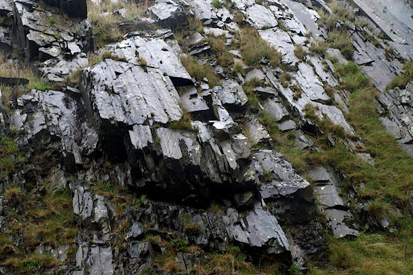
| Borrowdale Volcanic Group rocks, Silurian period, exposed by a road cutting. The bedding
is at a steep angle; the rocks are folded in a group of tight synclines and anticlines.
The ripple marks imply the rocks were laid down in shallow water, not too active. |
||
| NB: beware my amateur geological knowledge. |
||
|
|
||
 BPQ30.jpg Ripple marks. (taken 24.8.2008) 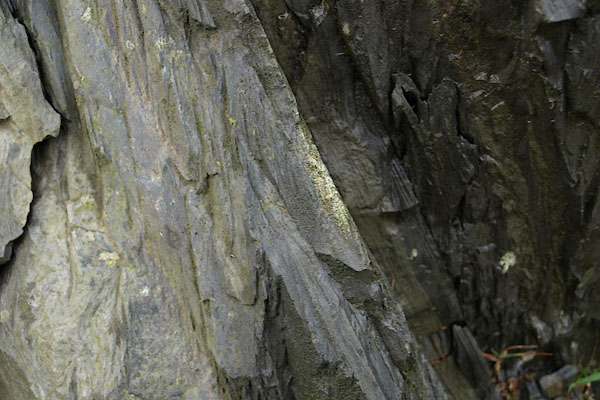 BPQ31.jpg It is possible to see bedding and cleavage, nearly parallel. (taken 24.8.2008) |
||
|
|
||
 Lakes Guides menu.