 Old Cumbria Gazetteer
 |
 |
|
| Flat Tarn, Whinfell | ||
| Flat Tarn | ||
| civil parish:- | Whinfell (formerly Westmorland) | |
| county:- | Cumbria | |
| locality type:- | tarn | |
| coordinates:- | SD56459870 | |
| 1Km square:- | SD5698 | |
| 10Km square:- | SD59 | |
| altitude:- | 508 feet | |
| altitude:- | 155m | |
|
|
||
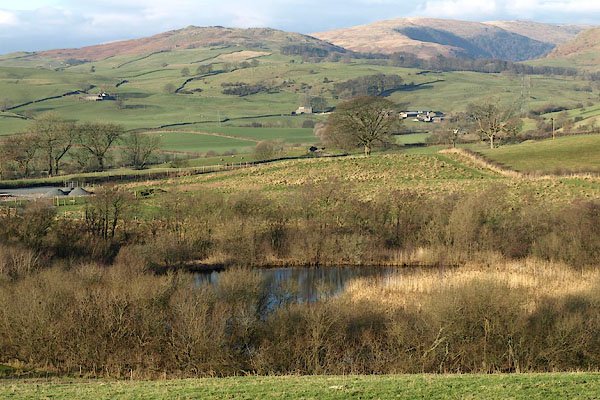 BPW21.jpg (taken 26.12.2008) |
||
|
|
||
| evidence:- | old map:- OS County Series (Wmd 34 6) placename:- Flat Tarn |
|
| source data:- | Maps, County Series maps of Great Britain, scales 6 and 25
inches to 1 mile, published by the Ordnance Survey, Southampton,
Hampshire, from about 1863 to 1948. |
|
|
|
||
 Lakes Guides menu.