Old Cumbria Gazetteer
 |
 |
|
||
| Dubwath, Setmurthy | ||||
| Dubwath | ||||
| civil parish:- | Setmurthy (formerly Cumberland) | |||
| county:- | Cumbria | |||
| locality type:- | locality | |||
| locality type:- | buildings | |||
| coordinates:- | NY19783120 | |||
| 1Km square:- | NY1931 | |||
| 10Km square:- | NY13 | |||
|
|
||||
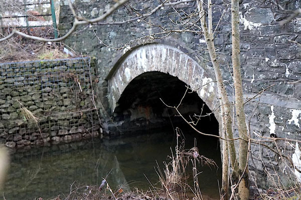
 CCF05.jpg (taken 29.12.2014) |
||||
|
|
||||
| evidence:- | old map:- Ford 1839 map placename:- Peel Wyke |
|||
| source data:- | Map, uncoloured engraving, Map of the Lake District of
Cumberland, Westmoreland and Lancashire, scale about 3.5 miles
to 1 inch, published by Charles Thurnam, Carlisle, and by R
Groombridge, 5 Paternoster Row, London, 3rd edn 1843.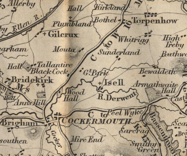 FD02NY13.jpg "Peel Wyke" item:- JandMN : 100.1 Image © see bottom of page |
|||
|
|
||||
| places:- |
|
|||
|
||||
 Lakes Guides menu.