 Old Cumbria Gazetteer
 |
 |
|
| Doddick Gill, Threlkeld | ||
| Doddick Gill | ||
| site name:- | Doddickgill Beck | |
| civil parish:- | Threlkeld (formerly Cumberland) | |
| county:- | Cumbria | |
| locality type:- | valley | |
| coordinates:- | NY33072695 (etc) | |
| 1Km square:- | NY3326 | |
| 10Km square:- | NY32 | |
|
|
||
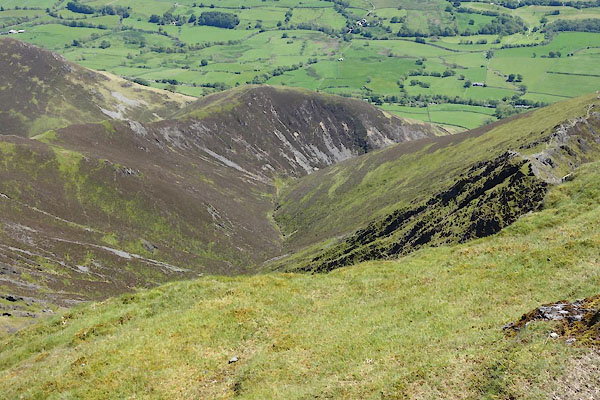 CDI71.jpg (taken 11.6.2015) 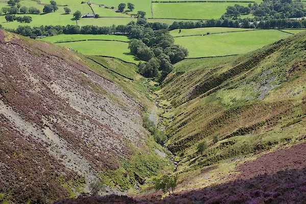 CBO08.jpg (taken 26.8.2014) |
||
|
|
||
| evidence:- | old map:- OS County Series (Cmd 57 9) placename:- Doddick Gill |
|
| source data:- | Maps, County Series maps of Great Britain, scales 6 and 25
inches to 1 mile, published by the Ordnance Survey, Southampton,
Hampshire, from about 1863 to 1948. |
|
|
|
||
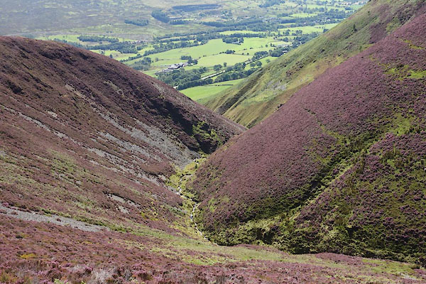 CBO07.jpg (taken 26.8.2014) 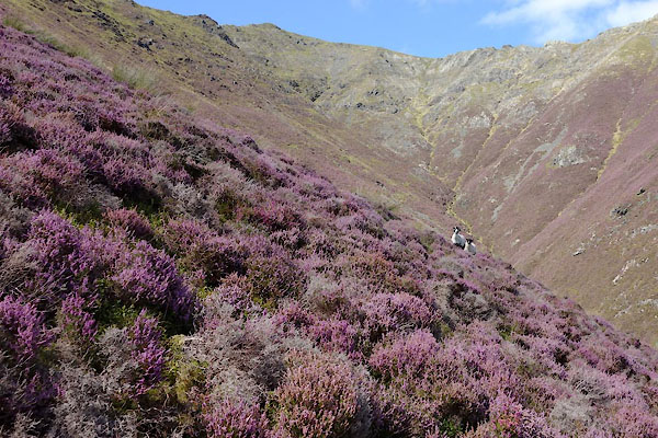 CBO05.jpg (taken 26.8.2014)  BPD06.jpg (taken 2.5.2008) |
||
|
|
||
 Lakes Guides menu.