 Old Cumbria Gazetteer
 |
 |
|
| Broughton High Bridge, Broughton | ||
| Broughton High Bridge | ||
| site name:- | Derwent, River | |
| civil parish:- | Broughton (formerly Cumberland) | |
| civil parish:- | Brigham (formerly Cumberland) | |
| county:- | Cumbria | |
| locality type:- | bridge | |
| coordinates:- | NY08163128 | |
| 1Km square:- | NY0831 | |
| 10Km square:- | NY03 | |
|
|
||
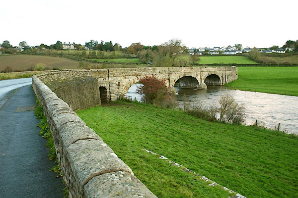 BPT29.jpg (taken 22.10.2008) 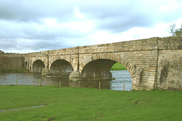 BPT25.jpg (taken 22.10.2008) |
||
|
|
||
| evidence:- | old map:- OS County Series (Cmd 54 2) placename:- Broughton High Bridge |
|
| source data:- | Maps, County Series maps of Great Britain, scales 6 and 25
inches to 1 mile, published by the Ordnance Survey, Southampton,
Hampshire, from about 1863 to 1948. |
|
|
|
||
| evidence:- | possibly old map:- Bell 1892 placename:- Broughton Bridge |
|
| source data:- | Map, colour lithograph, Road Map of Cumberland, by George Joseph
Bell, scale about 2.5 miles to 1 inch, printed by Charles
Thurnam and Sons, Carlisle, Cumberland, 1892.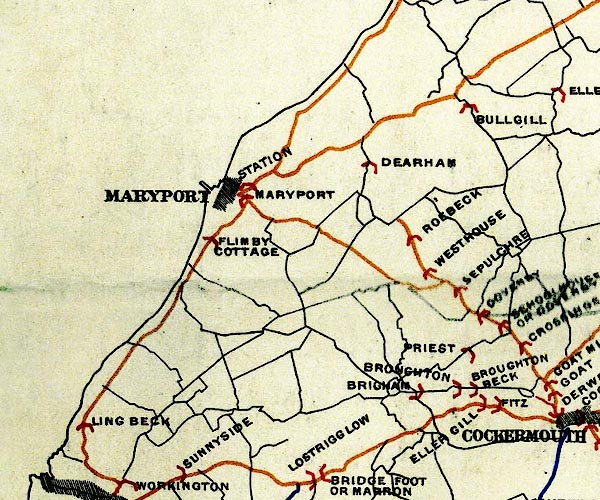 BEL9NY03.jpg "BROUGHTON" bridge symbol Road map of Cumberland showing County Bridges item:- Carlisle Library : Map 38 Image © Carlisle Library |
|
|
|
||
| evidence:- | database:- Listed Buildings 2010 placename:- Broughton High Bridge |
|
| source data:- | courtesy of English Heritage "BROUGHTON HIGH BRIDGE / / GREAT BROUGHTON / BROUGHTON / ALLERDALE / CUMBRIA / II / 72220 / NY0815631266" |
|
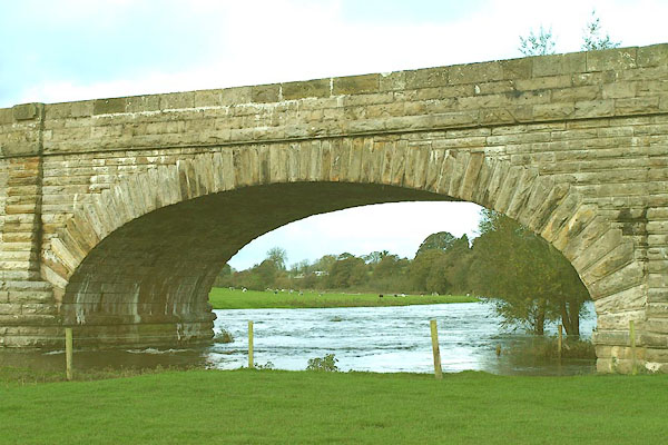
| source data:- | courtesy of English Heritage "Roadbridge. Dated on centre of parapet 1835. Rusticated calciferous sandstone ashlar. 3 segmental arches with rusticated voussoirs on rounded piers. Solid parapets with chamfered coping. This bridge lies partly in Brigham C.P." |
|
|
|
||
| evidence:- | database:- Listed Buildings 2010 placename:- Broughton High Bridge item:- ; ?datestone |
|
| source data:- | courtesy of English Heritage "BROUGHTON HIGH BRIDGE / / / BRIGHAM / ALLERDALE / CUMBRIA / II / 72606 / NY0815831271" |
|
| source data:- | courtesy of English Heritage "Roadbridge. Dated on centre of parapet 1835. Rusticated calciferous sandstone ashlar. 3 segmental arches with rusticated voussoirs on rounded piers. Solid parapets with chamfered coping. This bridge lies partly in Broughton C.P." |
|
|
|
||
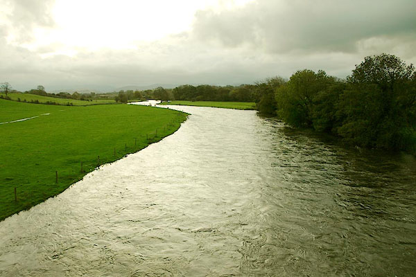 BPT30.jpg View of river. (taken 22.10.2008) |
||
|
|
||
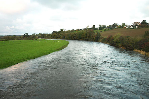 BPT31.jpg View of river. (taken 22.10.2008) |
||
|
|
||
 BPT26.jpg Elliptical arch? (taken 22.10.2008) 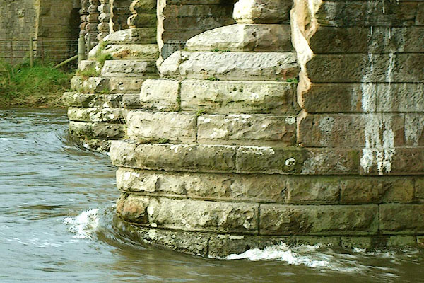 BPT27.jpg Cutwater (taken 22.10.2008) 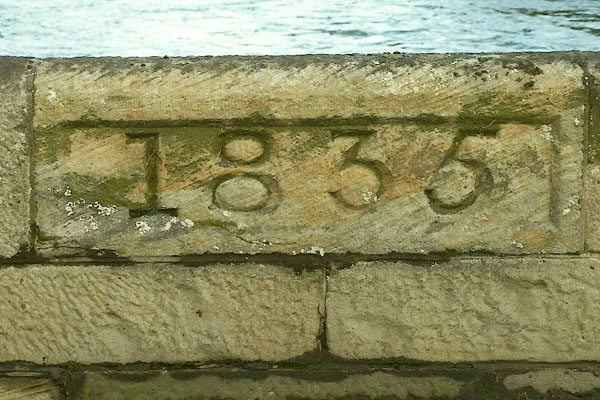 BPT28.jpg Plaque, west parapet:- "1835" (taken 22.10.2008) |
||
|
|
||
 Lakes Guides menu.