 Old Cumbria Gazetteer
 |
 |
|
| bench mark, NY47870745 | ||
| locality:- | track, Sadgill to Gatescarth | |
| civil parish:- | Longsleddale (formerly Westmorland) | |
| county:- | Cumbria | |
| locality type:- | bench mark (pivot) | |
| coordinates:- | NY47870745 | |
| 1Km square:- | NY4707 | |
| 10Km square:- | NY40 | |
| altitude:- | 852.770 feet | |
| altitude:- | 259.9243m | |
| SummaryText:- | pivot, boulder 2.1m NE of wall bounding SW side of track, 1.1 m above ground | |
|
|
||
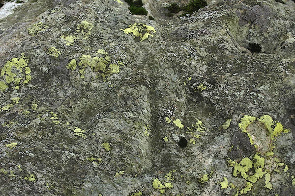 BPV51.jpg The pivot is not clear. (taken 20.11.2008) 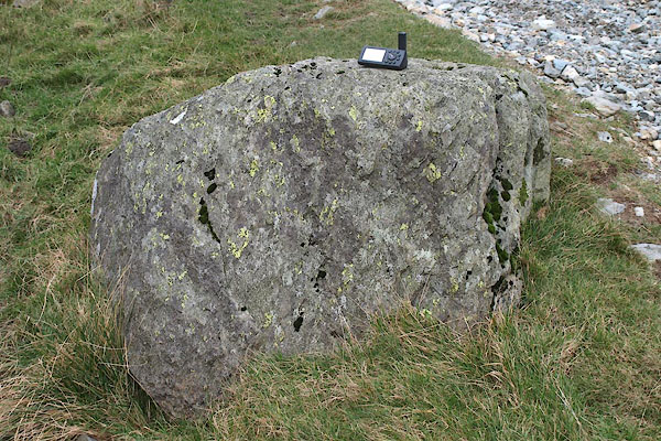 BPV50.jpg (taken 20.11.2008) |
||
|
|
||
 Lakes Guides menu.