 Old Cumbria Gazetteer
 |
 |
|
| monument, Dearham | ||
| site name:- | roman road 751 | |
| civil parish:- | Dearham (formerly Cumberland) | |
| county:- | Cumbria | |
| locality type:- | monument | |
| coordinates:- | NY05733602 | |
| 1Km square:- | NY0536 | |
| 10Km square:- | NY03 | |
|
|
||
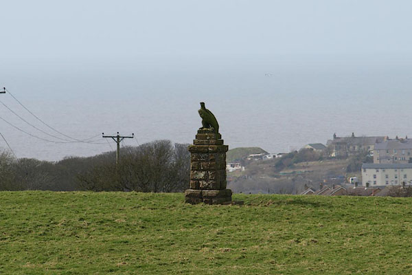 BOU34.jpg Monument, marking the course of the roman road. (taken 14.3.2008) 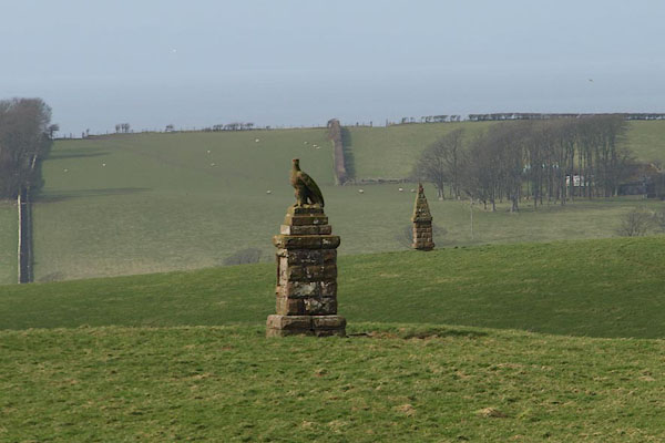 BOU35.jpg Two monuments, marking the course of the roman road. (taken 14.3.2008) |
||
|
|
||
| evidence:- | old map:- OS County Series (Cmd 45 5) |
|
| source data:- | Maps, County Series maps of Great Britain, scales 6 and 25
inches to 1 mile, published by the Ordnance Survey, Southampton,
Hampshire, from about 1863 to 1948. "Monument" |
|
|
|
||
 Lakes Guides menu.