Old Cumbria Gazetteer
 |
 |
|
||
| Stonycroft Gill | ||||
| runs into:- |  Newlands Beck Newlands Beck |
|||
|
|
||||
| locality:- | Stonycroft | |||
| civil parish:- | Above Derwent (formerly Cumberland) | |||
| county:- | Cumbria | |||
| locality type:- | river | |||
| 1Km square:- | NY2221 (etc) | |||
| 10Km square:- | NY22 | |||
|
|
||||
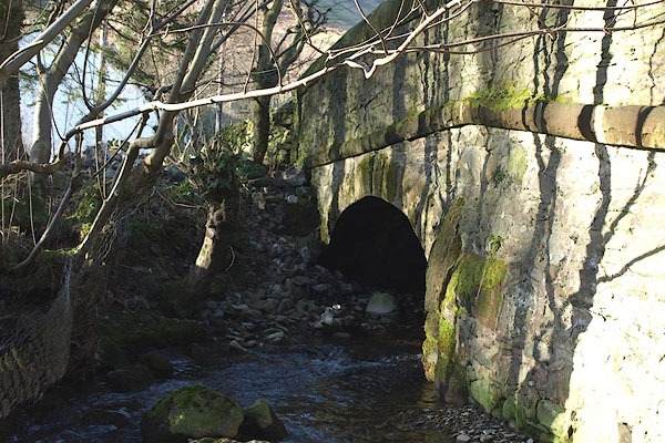
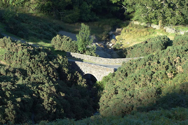
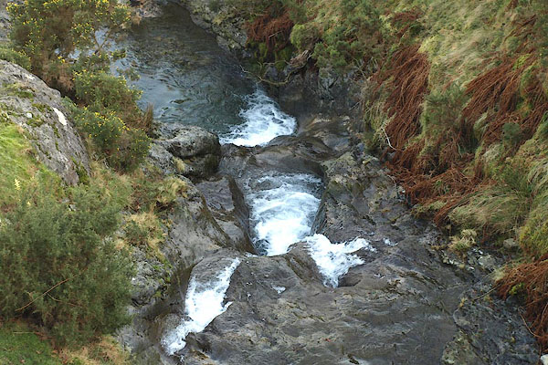 BOQ43.jpg At Stonycroft Bridge. (taken 13.2.2008) 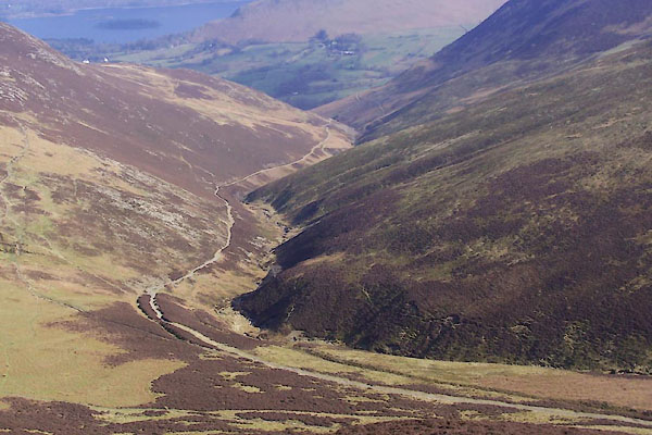 BUH44.jpg (taken 28.3.2011) |
||||
|
|
||||
| evidence:- | old map:- OS County Series (Cmd 63 12) placename:- Stonycroft Gill |
|||
| source data:- | Maps, County Series maps of Great Britain, scales 6 and 25
inches to 1 mile, published by the Ordnance Survey, Southampton,
Hampshire, from about 1863 to 1948. |
|||
|
|
||||
| evidence:- | old print:- Green 1810 (plate 37) |
|||
| source data:- | Print, soft ground etching, Stonycroft Bridge, Above Derwent, Cumberland, by William
Green, Ambleside, Westmorland, 1809.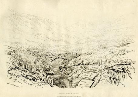 click to enlarge click to enlargeGN1237.jpg Plate 37 in Sixty Studies from Nature, 1810. printed at top right:- "37" printed at bottom:- "STONYCROFT BRIDGE. / Drawn &Engraved by William Green, and Published at Ambleside, Augst. 1st. 1809." watermark:- "J WHATMAN / 1813" item:- Armitt Library : A6641.37 Image © see bottom of page |
|||
|
|
||||
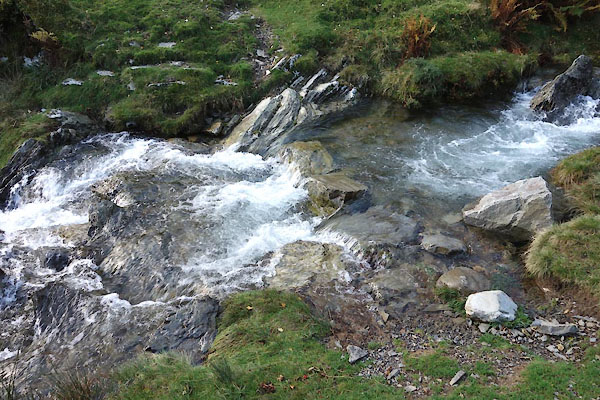
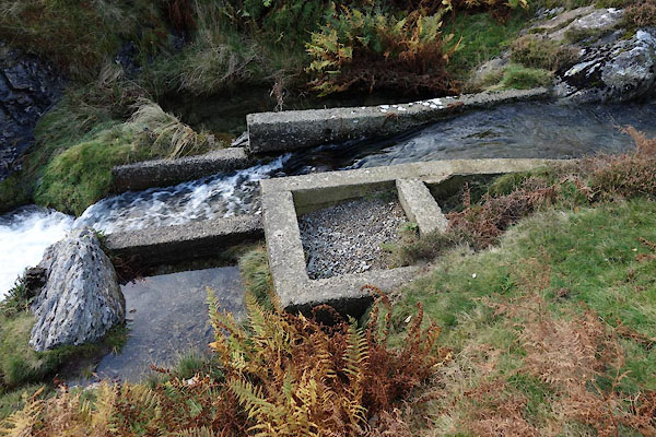
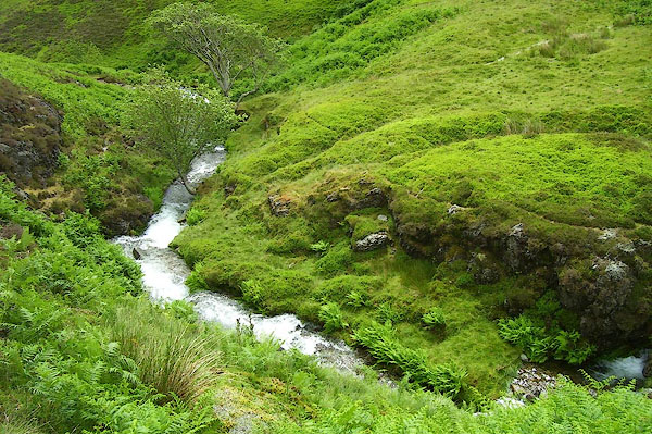 BPJ32.jpg (taken 23.6.2008) 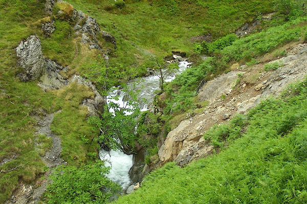 BPJ31.jpg (taken 23.6.2008)  BPJ33.jpg (taken 23.6.2008) 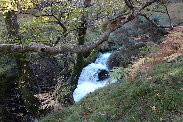 BZN84.jpg (taken 24.10.2013) 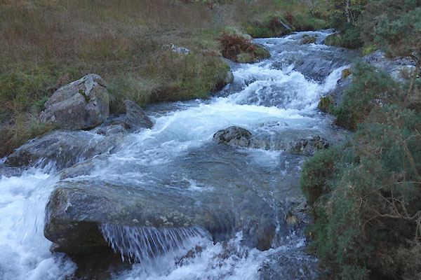 BZN85.jpg (taken 24.10.2013) 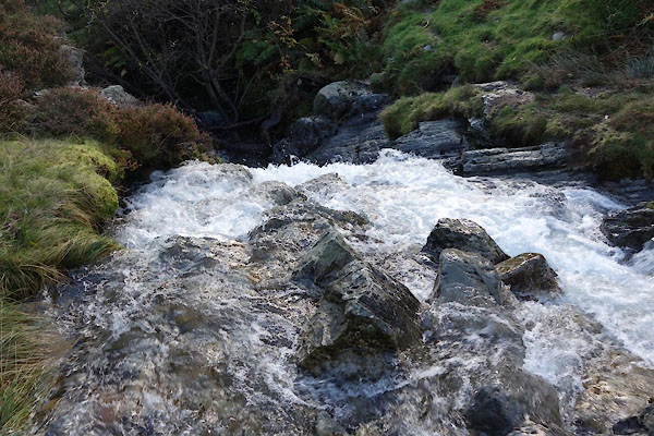 BZN88.jpg (taken 24.10.2013) 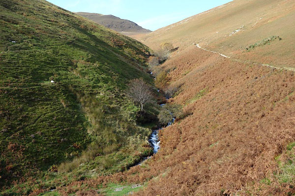 BZN95.jpg (taken 24.10.2013) 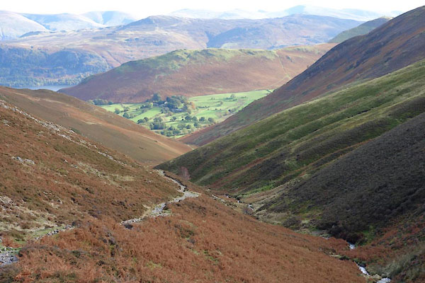 BZO01.jpg (taken 24.10.2013) |
||||
|
|
||||
| places:- |
|
|||
|
||||
|
||||
|
||||
|
||||
|
||||
Lakes Guides menu.