 Old Cumbria Gazetteer
 |
 |
|
| Low Taggleshaw, Strickland Roger | ||
| Low Taggleshaw | ||
| locality:- | Potter Fell | |
| civil parish:- | Strickland Roger (formerly Westmorland) | |
| county:- | Cumbria | |
| locality type:- | tarn | |
| locality type:- | area | |
| coordinates:- | SD50529888 | |
| 1Km square:- | SD5098 | |
| 10Km square:- | SD59 | |
| altitude:- | 945 feet | |
| altitude:- | 288m | |
|
|
||
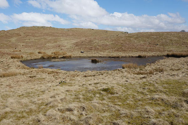 BYA32.jpg The tarn. (taken 29.3.2013) 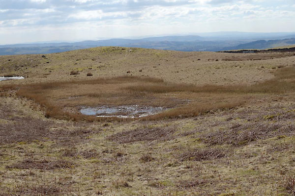 BYA33.jpg The smaller swampy bit. (taken 29.3.2013) |
||
|
|
||
| evidence:- | old map:- OS County Series (Wmd 33 7) placename:- Low Taggleshaw placename:- Taggleshaw, Low |
|
| source data:- | Maps, County Series maps of Great Britain, scales 6 and 25
inches to 1 mile, published by the Ordnance Survey, Southampton,
Hampshire, from about 1863 to 1948. |
|
|
|
||
| MN photo:- |
4 acres of land here belong to the community. |
|
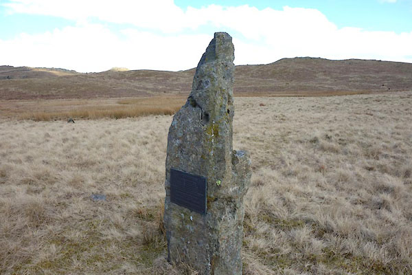 BYA28.jpg Stone with a plaque, (taken 29.3.2013) 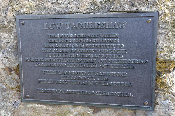 BYA29.jpg Plaque:- "LOW TAGGLESHAW / THIS FOUR ACRE SITE WITHIN / THE FOUR BOUNDARY STONES / WAS AWARDED IN PERPETUITY TO / THE PARISH OF STRICKLAND ROGER / BY THE ENCLOSURE ACT OF 1838 / FOR THE INHABITANTS OF THAT AND NEIGHBOURING / PARISHES FOR RECREATION AND EXERCISE. / ..." (taken 29.3.2013) 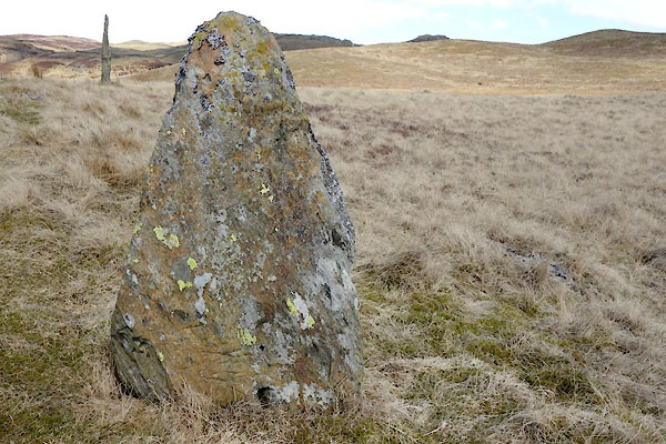 BYA30.jpg Boundary stone:- (taken 29.3.2013) 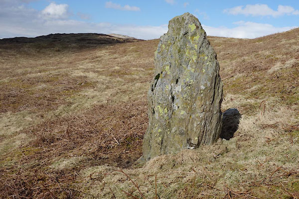 BYA31.jpg Boundary stone:- (taken 29.3.2013) 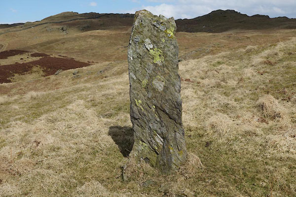 BYA35.jpg Boundary stone:- (taken 29.3.2013) 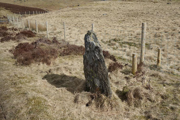 BYA37.jpg Boundary stone:- (taken 29.3.2013) 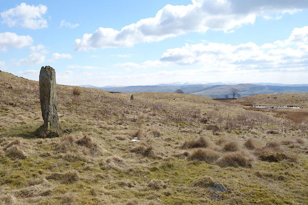 BYA36.jpg Boundary stones and the tarn. (taken 29.3.2013) 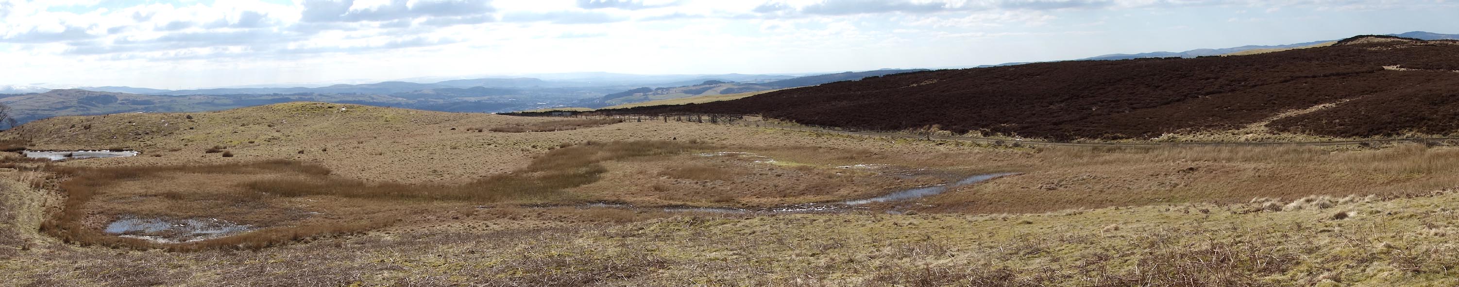 Click to enlarge BYA34.jpg (taken 29.3.2013) |
||
|
|
||
 Lakes Guides menu.