 Old Cumbria Gazetteer
 |
 |
|
| Kershope Bridge, Bewcastle | ||
| Kershope Bridge | ||
| site name:- | Kershope Burn | |
| civil parish:- | Bewcastle (formerly Cumberland) | |
| county:- | Cumbria | |
| locality type:- | bridge | |
| locality type:- | boundary feature | |
| locality type:- | county boundary feature | |
| locality type:- | national boundary feature | |
| coordinates:- | NY50118343 | |
| 1Km square:- | NY5083 | |
| 10Km square:- | NY58 | |
| country:- | Scotland | |
| current boundary | ||
| locality:- | Cumbria boundary | |
|
|
||
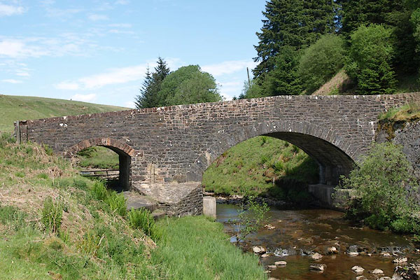 BSW11.jpg (taken 4.6.2010) |
||
|
|
||
| evidence:- | old map:- OS County Series (Cmd 1 15) placename:- Kershope Bridge |
|
| source data:- | Maps, County Series maps of Great Britain, scales 6 and 25
inches to 1 mile, published by the Ordnance Survey, Southampton,
Hampshire, from about 1863 to 1948. |
|
|
|
||
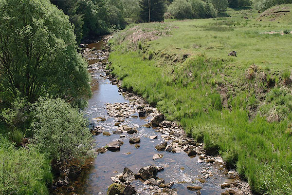 BSW12.jpg View of river. (taken 4.6.2010) |
||
|
|
||
 Lakes Guides menu.