 Old Cumbria Gazetteer
 |
 |
|
| Hodgewife Well, Millom Without | ||
| Hodgewife Well | ||
| locality:- | Thwaites Fell | |
| civil parish:- | Millom Without (formerly Cumberland) | |
| county:- | Cumbria | |
| locality type:- | spring | |
| coordinates:- | SD16868986 | |
| 1Km square:- | SD1689 | |
| 10Km square:- | SD18 | |
|
|
||
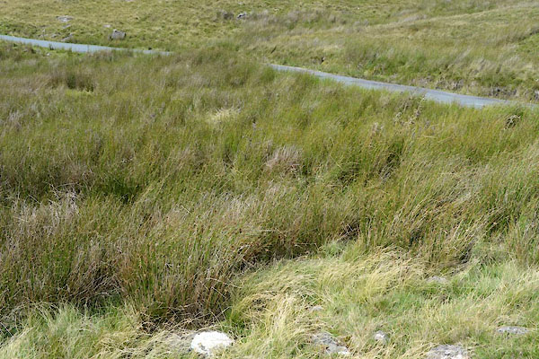 CGH37.jpg if you can find it! (taken 28.7.2017) |
||
|
|
||
| evidence:- | old map:- OS County Series (Cmd 86 10) placename:- Hodgewife Well |
|
| source data:- | Maps, County Series maps of Great Britain, scales 6 and 25
inches to 1 mile, published by the Ordnance Survey, Southampton,
Hampshire, from about 1863 to 1948. |
|
|
|
||
 Lakes Guides menu.