 Old Cumbria Gazetteer
 |
 |
|
| Wofa Holes, Askham Fell | ||
| Wofa Holes | ||
| locality:- | Askham Fell | |
| civil parish:- | Askham (formerly Westmorland) | |
| county:- | Cumbria | |
| locality type:- | swallow hole (?) | |
| coordinates:- | NY49162179 (etc) | |
| 1Km square:- | NY4921 | |
| 10Km square:- | NY42 | |
|
|
||
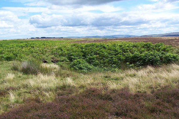 BNX05.jpg The hole. (taken 30.7.2007) 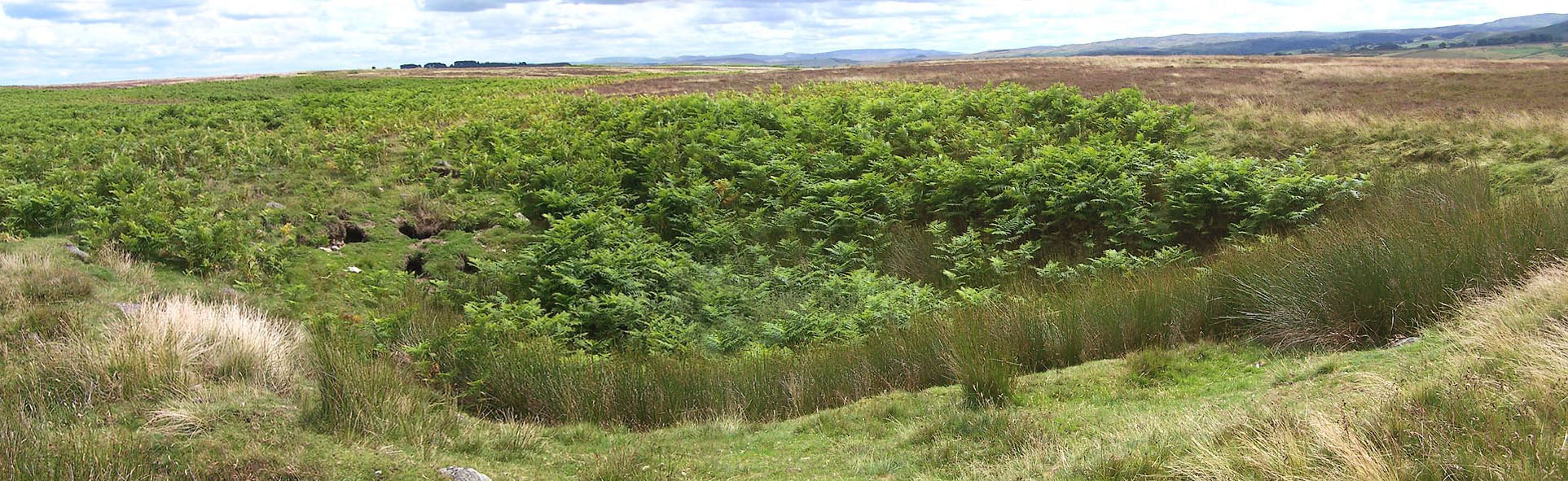 Click to enlarge BNX06.jpg The hole. (taken 30.7.2007) |
||
|
|
||
| evidence:- | old map:- OS County Series (Wmd 7 15) placename:- Wofa Holes |
|
| source data:- | Maps, County Series maps of Great Britain, scales 6 and 25
inches to 1 mile, published by the Ordnance Survey, Southampton,
Hampshire, from about 1863 to 1948. |
|
|
|
||
 Lakes Guides menu.