 Old Cumbria Gazetteer
 |
 |
|
| Holme Turnpike Bridge, Lancaster Canal | ||
| Holme Turnpike Bridge | ||
| bridge no.149 | ||
| site name:- | Lancaster Canal | |
| locality:- | Holme | |
| civil parish:- | Holme (formerly Westmorland) | |
| county:- | Cumbria | |
| locality type:- | canal bridge | |
| locality type:- | bridge | |
| coordinates:- | SD52667869 | |
| 1Km square:- | SD5278 | |
| 10Km square:- | SD57 | |
|
|
||
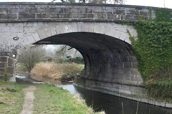 BQA34.jpg (taken 30.1.2009) 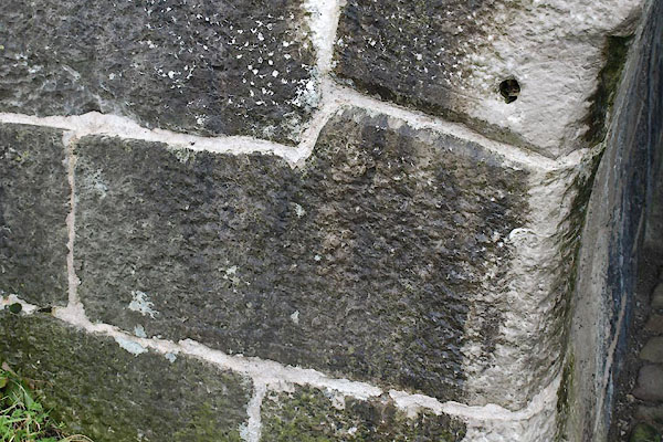 BQA35.jpg Miniscule rope wear on the hard stone; and an interesting spring to the arch. (taken 30.1.2009) |
||
|
|
||
| evidence:- | probably old map:- Cooper 1808 |
|
| source data:- | Map, hand coloured engraving, Westmoreland ie Westmorland, scale
about 9 miles to 1 inch, by H Cooper, 1808, published by R
Phillips, Bridge Street, Blackfriars, London, 1808. click to enlarge click to enlargeCOP4.jpg road across stream; bridge? over canal; plotted out of place? item:- Dove Cottage : 2007.38.53 Image © see bottom of page |
|
|
|
||
| evidence:- | database:- Listed Buildings 2010 placename:- Holme Turnpike Bridge |
|
| source data:- | courtesy of English Heritage "HOLME TURNPIKE BRIDGE OVER KENDAL/LANCASTER CANAL / / BURTON ROAD / HOLME / SOUTH LAKELAND / CUMBRIA / II / 76679 / SD5265378695" |
|
| source data:- | courtesy of English Heritage "Canal bridge. c.1816. Probably by John Fletcher, engineer, from the original designs of John Rennie whose route for the canal was authorised in 1792. Squared, coursed limestone with limestone string, copings and rounded fender course. Elliptical arch with rusticated voussoirs and keystone. Arched parapets terminating in pilasters. Approx. 6m between parapets. At skew angle to canal with concrete steps at South-west corner. Timber foot bridge added to North not of interest." |
|
|
|
||
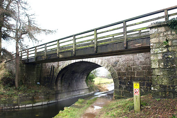 BQA36.jpg Added footbridge on N side. (taken 30.1.2009) 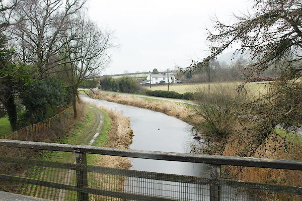 BQA37.jpg View N. (taken 30.1.2009) 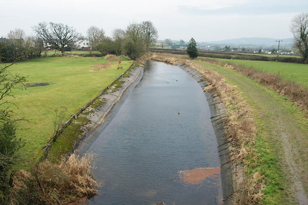 BQA38.jpg View S. (taken 30.1.2009) |
||
|
|
||
 Lakes Guides menu.