 Old Cumbria Gazetteer
 |
 |
|
| Hartsop above How, Patterdale | ||
| Hartsop above How | ||
| civil parish:- | Patterdale (formerly Westmorland) | |
| county:- | Cumbria | |
| locality type:- | hill | |
| coordinates:- | NY383120 | |
| 1Km square:- | NY3812 | |
| 10Km square:- | NY31 | |
| altitude:- | 1870 feet | |
| altitude:- | 570m | |
|
|
||
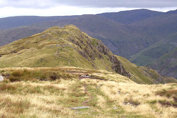 BOE59.jpg (taken 11.9.2007) |
||
|
|
||
| evidence:- | old map:- OS County Series (Wmd 19 7) placename:- Hartsop above How |
|
| source data:- | Maps, County Series maps of Great Britain, scales 6 and 25
inches to 1 mile, published by the Ordnance Survey, Southampton,
Hampshire, from about 1863 to 1948. |
|
|
|
||
| evidence:- | old map:- Jefferys 1770 (Wmd) |
|
| source data:- | Map, 4 sheets, The County of Westmoreland, scale 1 inch to 1
mile, surveyed 1768, and engraved and published by Thomas
Jefferys, London, 1770.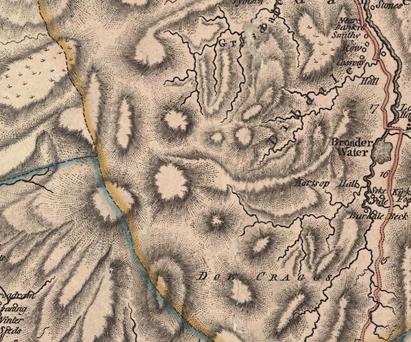 J5NY31SE.jpg hill hachuring; hill or mountain item:- National Library of Scotland : EME.s.47 Image © National Library of Scotland |
|
|
|
||
 Lakes Guides menu.