 Old Cumbria Gazetteer
 |
 |
|
| Devil's Chimney, Patterdale | ||
| Devil's Chimney | ||
| site name:- | Ullswater | |
| civil parish:- | Patterdale (formerly Westmorland) | |
| county:- | Cumbria | |
| locality type:- | rocks | |
| coordinates:- | NY39371776 | |
| 1Km square:- | NY3917 | |
| 10Km square:- | NY31 | |
|
|
||
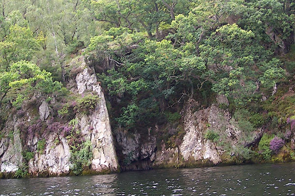 BOA37.jpg (taken 25.8.2007) |
||
|
|
||
| evidence:- | old map:- OS County Series (Wmd 12 7) placename:- Devil's Chimney |
|
| source data:- | Maps, County Series maps of Great Britain, scales 6 and 25
inches to 1 mile, published by the Ordnance Survey, Southampton,
Hampshire, from about 1863 to 1948. |
|
|
|
||
 Lakes Guides menu.