 Old Cumbria Gazetteer
 |
 |
|
||
| Black Beck | ||||
| runs into:- |  Sprint, River Sprint, River |
|||
|
|
||||
| civil parish:- | Longsleddale (formerly Westmorland) | |||
| county:- | Cumbria | |||
| locality type:- | river | |||
| 1Km square:- | NY4802 (etc) | |||
| 10Km square:- | NY40 | |||
|
|
||||
| evidence:- | old map:- OS County Series (Wmd 27 11) placename:- Black Beck |
|||
| source data:- | Maps, County Series maps of Great Britain, scales 6 and 25
inches to 1 mile, published by the Ordnance Survey, Southampton,
Hampshire, from about 1863 to 1948. OS County Series (Wmd 33 3) |
|||
|
|
||||
| evidence:- | old map:- KendalRO : WD/Rig/Acc.1296/49 |
|||
| source data:- | Estate plan, hand coloured lithograph, Plan of Well Foot and Hollin Root Estates,
and Sleddale Forest, Longsleddale, Westmorland, by J Bintley, printed by R Robinson,
Nottingham, Nottinghamshire, 1859. Drawing of a small pool, at the head of Black Beck, about NY483018. "SPRING" |
|||
|
|
||||
| evidence:- | old map:- Jefferys 1770 (Wmd) |
|||
| source data:- | Map, 4 sheets, The County of Westmoreland, scale 1 inch to 1
mile, surveyed 1768, and engraved and published by Thomas
Jefferys, London, 1770.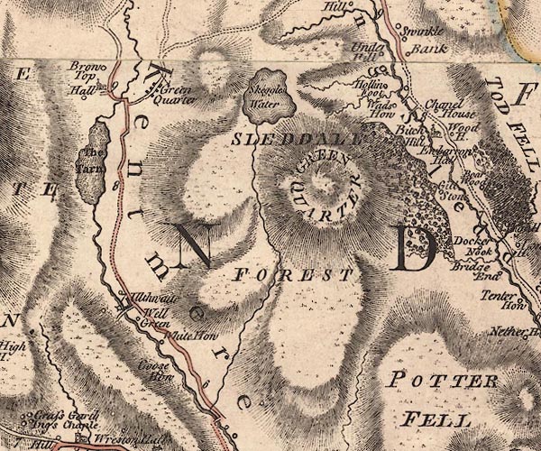 J5NY40SE.jpg single or double wiggly line; river item:- National Library of Scotland : EME.s.47 Image © National Library of Scotland |
|||
|
|
||||
| evidence:- | map:- OS Six Inch (1956) placename:- Black Beck |
|||
| source data:- | Map series, various editions with the national grid, scale about
6 inches to 1 mile, published by the Ordnance Survey,
Southampton, Hampshire, scale 1 to 10560 from 1950s to 1960s,
then 1 to 10000 from 1960s to 2000s, superseded by print on
demand from digital data.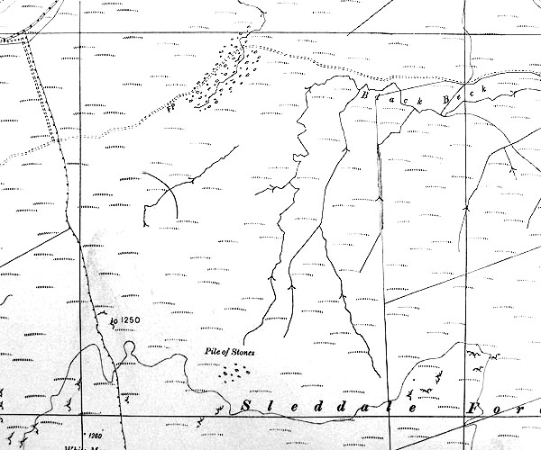 SINY4802.jpg "Black Beck" |
|||
|
|
||||
| places:- |
|
|||
Lakes Guides menu.